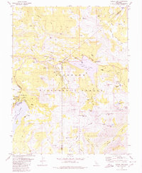
1979 Map of Caples Lake
USGS Topo · Published 1980About this map
Kirkwood sits at the heart of this high-altitude landscape, where the boundaries of El Dorado, Amador, and Alpine counties converge within the El Dorado National Forest. The map documents a transition in land use, showing the emerging infrastructure of the Kirkwood Meadows area alongside deep historical traces of the westward migration. The Old Emigrant Trail Historical Marker near the northern shore of Caples Lake identifies the path of early pioneers, while the Lost Cabin Mine tucked away near Woods Creek hints at the region's prospecting past.
Find a feature on this map
64 named features on this map. Tap any name to fly to it.
Don’t see what you’re looking for? This feature index may not catch every label — zoom into the map to look around manually.
Map Details
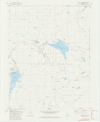
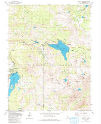
Editions of this 1979 Caples Lake Map
3 editions found
Other maps of this area

1889 · Pyramid Peak
USGS Topo · 1:125,000

1889 · Markleeville
USGS Topo · 1:125,000

1891 · Markleeville
USGS Topo · 1:125,000

1891 · Pyramid Peak
USGS Topo · 1:125,000

1893 · Markleeville
USGS Topo · 1:125,000

1895 · Pyramid Peak
USGS Topo · 1:125,000

1896 · Pyramid Peak
USGS Topo · 1:125,000

1947 · Sacramento
USGS Topo · 1:250,000

1948 · Walker Lake
USGS Topo · 1:250,000

1948 · Sacramento
USGS Topo · 1:250,000