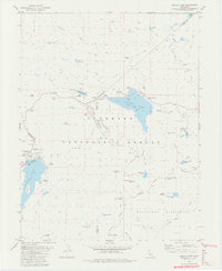
1979 Map of Caples Lake
USGS Topo · Published 1980About this map
Caples Lake and Silver Lake anchor this high-elevation landscape at the intersection of Alpine, Amador, and El Dorado counties. By the late 1970s, the area had developed into a significant recreation and ski destination, centered around the Kirkwood meadows and the slopes of Thimble Peak. The map documents the intricate water management of the era, including underwater contours provided by Pacific Gas and Electric Company for the reservoirs and several gaging stations.
Find a feature on this map
68 named features on this map. Tap any name to fly to it.
Don’t see what you’re looking for? This feature index may not catch every label — zoom into the map to look around manually.
Map Details
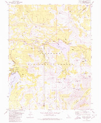
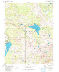
Editions of this 1979 Caples Lake Map
3 editions found
Other maps of this area

1889 · Pyramid Peak
USGS Topo · 1:125,000

1889 · Markleeville
USGS Topo · 1:125,000

1891 · Markleeville
USGS Topo · 1:125,000

1891 · Pyramid Peak
USGS Topo · 1:125,000

1893 · Markleeville
USGS Topo · 1:125,000

1895 · Pyramid Peak
USGS Topo · 1:125,000

1896 · Pyramid Peak
USGS Topo · 1:125,000

1947 · Sacramento
USGS Topo · 1:250,000

1948 · Walker Lake
USGS Topo · 1:250,000

1948 · Sacramento
USGS Topo · 1:250,000