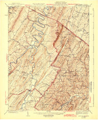
1943 Map of Capon Bridge
USGS Topo · Published 1943About this map
The Cacapon River meanders sharply through the Ridge-and-Valley province of West Virginia and Virginia, anchoring a landscape of tight mountain folds and isolated valley settlements. This 1943 survey captures the rural infrastructure of the early 20th century, where the Northwestern Turnpike serves as a vital artery crossing the river at Capon Bridge. The map reveals a dense network of one-room schools and small country churches, such as the Critton School and Eubulus Church, which defined local social life before the consolidation of rural districts. The complex topography is marked by named peaks like Slanes Knob and Georges Peak, while the industrial footprint is represented by the Winchester and Western Railroad cutting through the eastern ridges. Along the river banks, the Forks of Cacapon and Bloomery suggest older nodes of commerce that persisted as the regional economy shifted.
Find a feature on this map
107 named features on this map. Tap any name to fly to it.
Don’t see what you’re looking for? This feature index may not catch every label — zoom into the map to look around manually.
Map Details
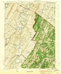
Editions of this 1943 Capon Bridge Map
2 editions found
Other maps of this area

1891 · Romney
USGS Topo · 1:125,000

1894 · Winchester
USGS Topo · 1:125,000

1898 · Paw Paw
USGS Topo · 1:62,500

1899 · Flintstone
USGS Topo · 1:62,500

1899 · Hancock
USGS Topo · 1:62,500

1900 · Pawpaw
USGS Topo · 1:62,500

1900 · Flintstone
USGS Topo · 1:62,500

1901 · Hancock
USGS Topo · 1:62,500

1910 · Paw Paw
USGS Topo · 1:62,500

1914 · Gerrardstown
USGS Topo · 1:48,000