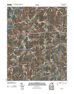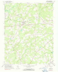
1966 Map of Capron
USGS Topo · Published 1990About this map
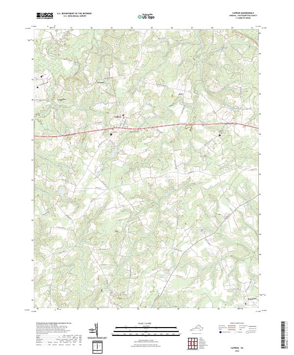
Norfolk and Western rail lines bisect the heart of Southampton County, anchoring the small community of Capron during the mid-1960s. This agricultural and correctional landscape is defined by its watercourses, notably Three Creek and Buckhorn Swamp, which shaped the placement of rural outposts like Worrell and Angelico. The presence of the State Correctional Farm in the northwest corner and the Capron District Sch indicates a community balanced between public institutions and family-centered rural life. For genealogists, the map preserves the locations of vital community centers including Mars Hill Ch, Vincent Grove Ch, and the Capron Cem. The southeastern edge descends toward the Nottoway River, with the Capron Lookout Tower standing as a sentinel over the surrounding timber and swamp lands.
Find a feature on this map
25 named features on this map. Tap any name to fly to it.
Don’t see what you’re looking for? This feature index may not catch every label — zoom into the map to look around manually.
Map Details
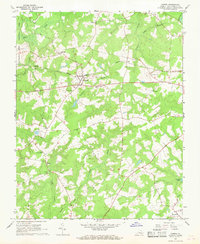
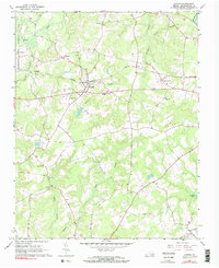
Editions of this 1966 Capron Map
Historical Maps of Newsoms Through Time
6 maps found