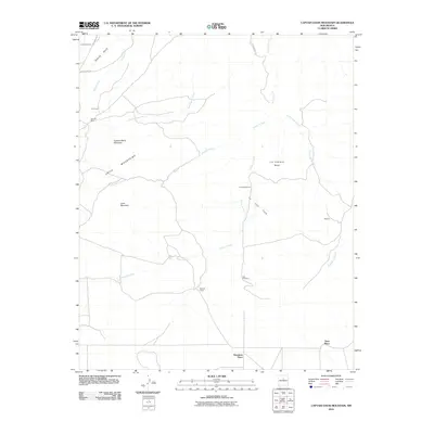
2010 Map of Captain Davis Mountain
USGS Topo · Published 2010About this map
The Ortiz Mountains anchor this high-desert landscape, where local industry and cattle ranching have left a distinct spatial imprint. Evidence of mineral exploration appears at the Dolores Mine near the settlement of Universal, while the broader terrain is defined by wide drainages like Arroyo Cañamo and Arroyo la Joya. Water management for livestock is a critical feature of the area, as seen in the placement of the La Joya Windmill and Indo Windmill across the La Joya Flats. This 2010 survey also highlights the scattered residential patterns of Santa Fe County, recording family-named locations such as Dennison Place and Tinen Place. Historical transport routes are preserved through labels like Wagon Trail Rd and Goldmine Rd, reflecting the area's dual heritage of resource extraction and transit.
Find a feature on this map
25 named features on this map. Tap any name to fly to it.
Don’t see what you’re looking for? This feature index may not catch every label — zoom into the map to look around manually.
Map Details
Editions of this 2010 Captain Davis Mountain Map
This is the sole edition of this map. No revisions or reprints were ever made.
Other maps of this area

1892 · San Pedro
USGS Topo · 1:125,000

1894 · Lamy
USGS Topo · 1:125,000

1954 · San Pedro
USGS Topo · 1:24,000

1954 · Santa Fe
USGS Topo · 1:250,000

1956 · Edgewood
USGS Topo · 1:62,500

1958 · Santa Fe
USGS Topo · 1:250,000

1958 · Albuquerque
USGS Topo · 1:250,000

1960 · Stanley
USGS Topo · 1:62,500

1961 · Madrid
USGS Topo · 1:62,500

1962 · Albuquerque
USGS Topo · 1:250,000