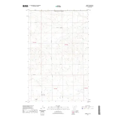
2020 Map of Carbert
USGS Topo · Published 2020About this map
Carbert and Butte Creek anchor this northern Montana landscape, located just south of the international border with Canada. The terrain is defined by the drainage patterns of Coal Cr and Butte Cr, which carve through the high plains. A network of rural routes, including Coal Creek Rd and Roseberry Rd, traces the section lines of this remote agricultural region. The inclusion of Lewarton Coulee provides a specific look at the geographic depressions that characterize this part of Daniels County. The survey highlights the intersection of public land survey systems across T37N and T36N, reflecting the systematic division of the West. This map serves as a primary record of the small settlements and family-named roads that persist in this sparsely populated border territory.
Find a feature on this map
17 named features on this map. Tap any name to fly to it.
Don’t see what you’re looking for? This feature index may not catch every label — zoom into the map to look around manually.
Map Details
Editions of this 2020 Carbert Map
This is the sole edition of this map. No revisions or reprints were ever made.
Other maps of this area
1954 · Wolf Point
USGS Topo · 1:250,000
1958 · Wolf Point
USGS Topo · 1:250,000
1973 · Horseshoe Basin
USGS Topo · 1:24,000
1973 · Peerless
USGS Topo · 1:24,000
1973 · Flaherty Coulee
USGS Topo · 1:24,000
1973 · Carbert
USGS Topo · 1:24,000
1973 · Killenbeck Reservoir
USGS Topo · 1:24,000
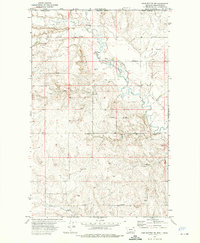
1973 · Four Buttes NW
USGS Topo · 1:24,000
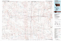
1983 · Scobey
USGS Topo · 1:100,000
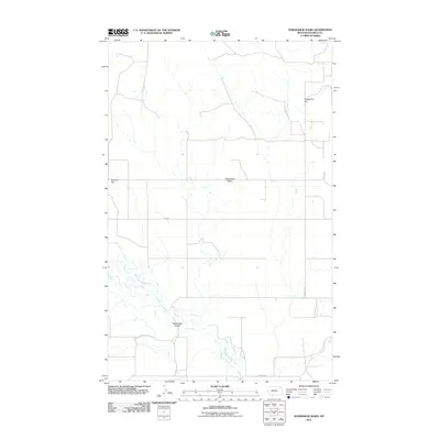
2011 · Horseshoe Basin
USGS Topo · 1:24,000