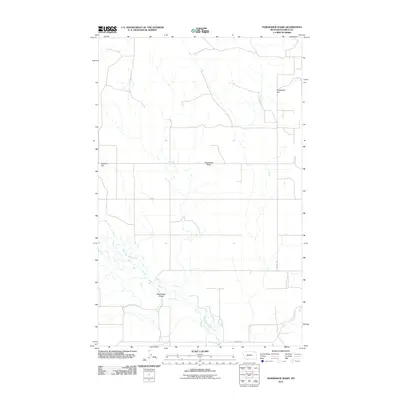
2011 Map of Horseshoe Basin
USGS Topo · Published 2011About this map
The West Fork Poplar River carves a meandering path through this northern Montana landscape, anchoring a region defined by high points and drainage basins. Topographic markers like Gregerson Hill and Richland Hill overlook the expansive Horseshoe Basin, illustrating the gradual elevation changes characteristic of Daniels County. The drainage network is further detailed by the presence of Blackhawk Coulee, a landform that suggests the movement of seasonal water toward the river valley. Human presence is evidenced primarily by a grid-like road system, including Gilchrist Rd and Nieskens Rd, which likely serve the scattered agricultural interests of this plains environment. The map captures the quiet intersection of natural watercourses and the practical rural infrastructure required for life in the Big Sky state.
Find a feature on this map
8 named features on this map. Tap any name to fly to it.
Don’t see what you’re looking for? This feature index may not catch every label — zoom into the map to look around manually.
Map Details
Editions of this 2011 Horseshoe Basin Map
This is the sole edition of this map. No revisions or reprints were ever made.
Other maps of this area

1954 · Wolf Point
USGS Topo · 1:250,000

1954 · Glasgow
USGS Topo · 1:250,000

1957 · Glasgow
USGS Topo · 1:250,000

1958 · Wolf Point
USGS Topo · 1:250,000

1958 · Glasgow
USGS Topo · 1:250,000

1973 · Horseshoe Basin
USGS Topo · 1:24,000

1973 · Brockway Spring
USGS Topo · 1:24,000

1973 · West Fork NE
USGS Topo · 1:24,000

1973 · Peerless
USGS Topo · 1:24,000

1973 · Flaherty Coulee
USGS Topo · 1:24,000