2022 Map of Carbon
USGS Topo · Published 2022About this map
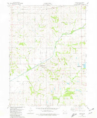
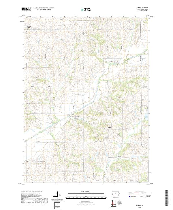
Carbon sits at the confluence of the Middle Nodaway River and Bull Cr, anchoring this rural landscape in Adams County. This modern survey reflects a settlement pattern long defined by the river valleys and the grid of gravel and paved roads that partition the terrain into sections. The small community of Quincy lies to the southeast along the Quincy Trl, while Lincoln Center marks the northern edge of the map. These small hubs, alongside Oakland Cem, serve as primary landmarks for local genealogists and historians tracing the development of Douglas and Quincy townships. To the east, the waters of Lake Icaria provide a significant geographical boundary, with the surrounding hills drained by tributaries like Show Cr and Kemp Cr. The map preserves the exact street and avenue names, such as Filbert Ave and Ironwood Ave, that have guided travel through these farm lands for generations.
Find a feature on this map
44 named features on this map. Tap any name to fly to it.
Don’t see what you’re looking for? This feature index may not catch every label — zoom into the map to look around manually.
Map Details
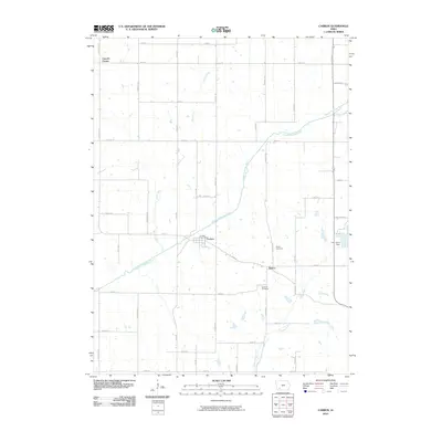
Editions of this 2022 Carbon Map
This is the sole edition of this map. No revisions or reprints were ever made.
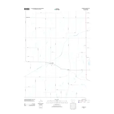
Historical Maps of Corning Through Time
6 maps found