
1980 Map of Grant
USGS Topo · Published 1981About this map
The West Nodaway River carves through the rolling agricultural landscape of Montgomery, Cass, and Adams counties, anchoring the small settlement of Grant. This 1980 survey captures the rural character of southwestern Iowa, where the land is divided into townships such as Douglas, Noble, and Edna. Local history is well-preserved through a high density of rural burial grounds and community focal points, including Newtons Grove Cem, Weirich Cem, and Noble Center Ch. In the northern portion of the map, the hamlet of Lyman sits along the roadway, while the drainage network of Sevenmile Creek and Threemile Creek defines the local topography. The map also records industrial sites such as a Gravel Pit and several Quarries, illustrating the local extraction activities that supported regional infrastructure during this period.
Find a feature on this map
28 named features on this map. Tap any name to fly to it.
Don’t see what you’re looking for? This feature index may not catch every label — zoom into the map to look around manually.
Map Details
Editions of this 1980 Grant Map
This is the sole edition of this map. No revisions or reprints were ever made.
Other maps of this area

1954 · Omaha
USGS Topo · 1:250,000

1957 · Omaha
USGS Topo · 1:250,000

1958 · Omaha
USGS Topo · 1:250,000

1971 · Anita SW
USGS Topo · 1:24,000

1971 · Lewis
USGS Topo · 1:24,000

1971 · Massena
USGS Topo · 1:24,000

1978 · Wallin
USGS Topo · 1:24,000

1978 · Griswold NE
USGS Topo · 1:24,000
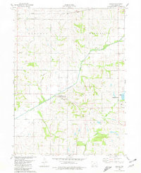
1980 · Carbon
USGS Topo · 1:24,000
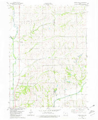
1980 · Morton Mills
USGS Topo · 1:24,000