
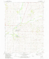
1971 Map of Lewis
USGS Topo · Published 1973About this map
The East Nishnabotna River winds through the heart of Cass County, creating a riparian corridor that defines the local landscape around the town of Lewis. This 1971 field-checked survey highlights the convergence of several waterways, including Turkey Creek, Spring Creek, and Bear Branch, which flow into the river valley. A notable center for recreation and local history is found at Cold Springs State Park, which includes a Campground and sits just south of the main settlement.
Find a feature on this map
20 named features on this map. Tap any name to fly to it.
Don’t see what you’re looking for? This feature index may not catch every label — zoom into the map to look around manually.
Map Details
Editions of this 1971 Lewis Map
2 editions found
Other maps of this area

1954 · Omaha
USGS Topo · 1:250,000

1957 · Omaha
USGS Topo · 1:250,000

1958 · Omaha
USGS Topo · 1:250,000

1971 · Walnut
USGS Topo · 1:24,000

1971 · Wiota
USGS Topo · 1:24,000

1971 · Atlantic
USGS Topo · 1:24,000

1971 · Atlantic SW
USGS Topo · 1:24,000

1971 · Anita SW
USGS Topo · 1:24,000

1978 · Griswold
USGS Topo · 1:24,000

1978 · Griswold NE
USGS Topo · 1:24,000