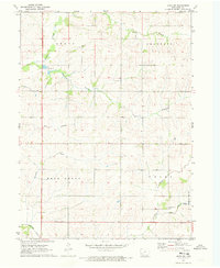
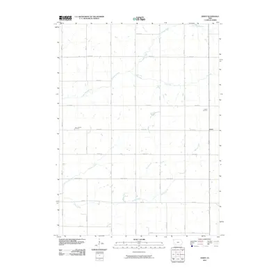
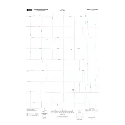
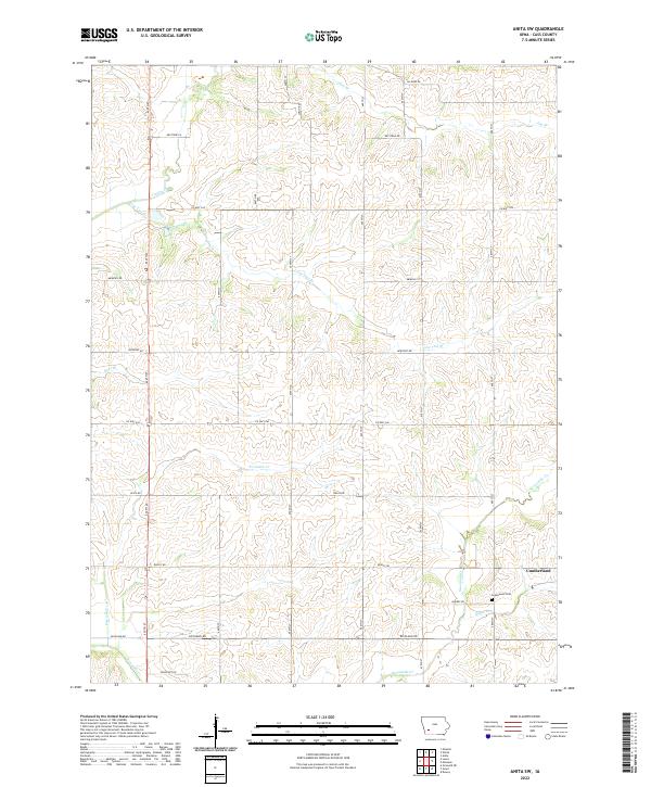
1971 Map of Anita SW
USGS Topo · Published 1973About this map
The rolling agricultural landscape of Cass County is defined here by the intricate drainage systems of the West Nishnabotna River watershed during the early 1970s. Spanning the townships of Grove, Franklin, Bear Grove, and Union, the map illustrates a highly organized rural infrastructure of section-line roads and family farms. Significant watercourses like Turkey Creek and Sevenmile Creek carve through the terrain, with smaller tributaries such as Lone Tree Branch and Hoyts Branch providing natural landmarks across the various sections.
Find a feature on this map
19 named features on this map. Tap any name to fly to it.
Don’t see what you’re looking for? This feature index may not catch every label — zoom into the map to look around manually.
Map Details
Editions of this 1971 Anita SW Map
This is the sole edition of this map. No revisions or reprints were ever made.
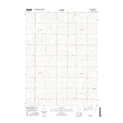
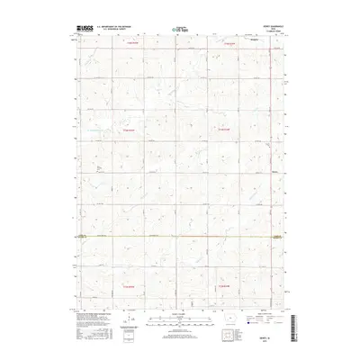
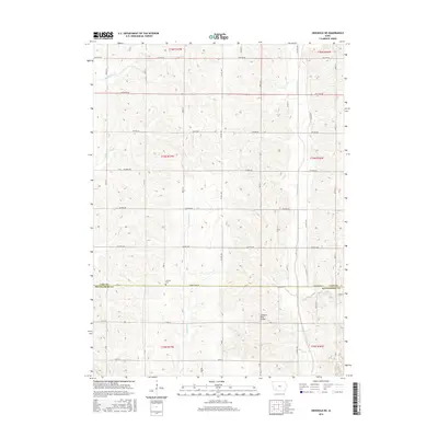
Historical Maps of Cass County Through Time
18 maps found
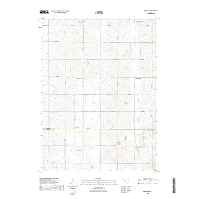
1971 Anita SW
Cass County, IA
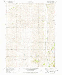
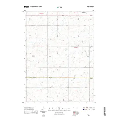
1978 Griswold NE
Cass County, IA
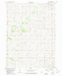
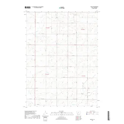
1980 Dewey
Cass County, IA
2010 Anita SW
Cass County, IA
2010 Dewey
Cass County, IA
2010 Griswold NE
Cass County, IA
2013 Anita SW
Cass County, IA
2013 Dewey
Cass County, IA
2013 Griswold NE
Cass County, IA
2015 Anita SW
Cass County, IA
2015 Dewey
Cass County, IA
2015 Griswold NE
Cass County, IA
2018 Anita SW
Cass County, IA
2018 Dewey
Cass County, IA
2018 Griswold NE
Cass County, IA
2022 Anita SW
Cass County, IA
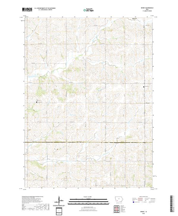
2022 Dewey
Cass County, IA
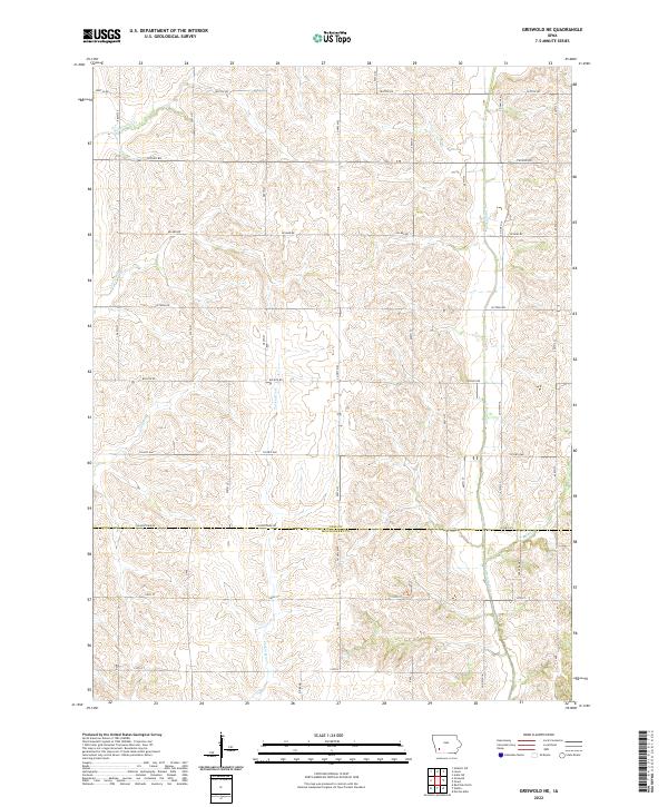
2022 Griswold NE
Cass County, IA