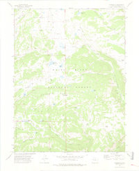
1974 Map of Carbonate
USGS Topo · Published 1978About this map
White River National Forest defines this high-elevation landscape, where the rugged terrain is marked by numerous alpine lakes and seasonal camps. The area around Carbonate and the Quartzite Ridge shows a network of pack trails and jeep trails rather than established highways, indicating the region's primary use for resource management and wilderness recreation. High peaks such as Quartzite Baxter Peak overlook a series of drainages including Grizzly Creek and No Name Creek.
Find a feature on this map
33 named features on this map. Tap any name to fly to it.
Don’t see what you’re looking for? This feature index may not catch every label — zoom into the map to look around manually.
Map Details
Editions of this 1974 Carbonate Map
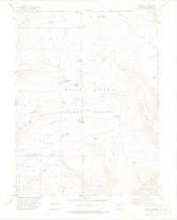
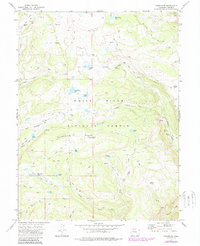
3 editions found
Other maps of this area

1927 · Glenwood Springs
USGS Topo · 1:125,000

1930 · Glenwood Springs
USGS Topo · 1:125,000

1957 · Leadville
USGS Topo · 1:250,000

1959 · Leadville
USGS Topo · 1:250,000

1960 · Leadville
USGS Topo · 1:250,000

1961 · Shoshone
USGS Topo · 1:24,000

1961 · Glenwood Springs
USGS Topo · 1:24,000

1962 · Leadville
USGS Topo · 1:250,000

1962 · Storm King Mountain
USGS Topo · 1:24,000

1964 · Leadville
USGS Topo · 1:250,000