
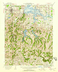
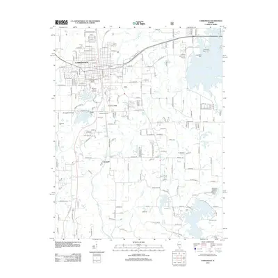
1984 Map of Carbondale
USGS Topo · Published 1985About this map
Southern Illinois University anchors the regional hub of Carbondale, situated amidst a landscape where the river-driven economy of the Mississippi River meets the heavy industry of the southern Illinois coal belt. This mid-1980s data shows the intricate rail network including the Missouri Pacific RR and Illinois Central Gulf RR that serviced settlements like Murphysboro, Herrin, and Du Quoin.
Find a feature on this map
176 named features on this map. Tap any name to fly to it.
Don’t see what you’re looking for? This feature index may not catch every label — zoom into the map to look around manually.
Map Details
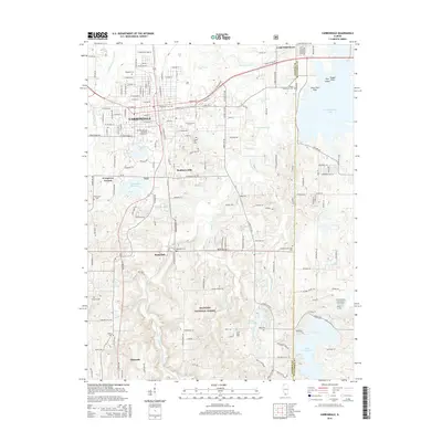
Editions of this 1984 Carbondale Map
This is the sole edition of this map. No revisions or reprints were ever made.
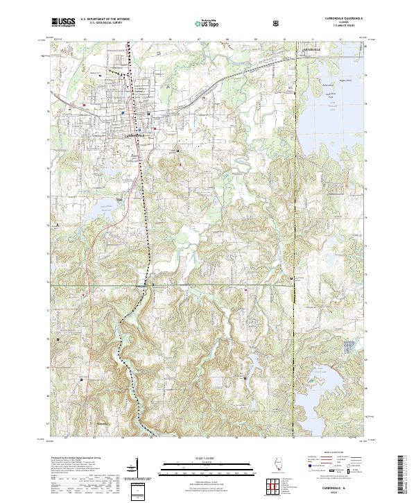
Historical Maps of Carbondale Through Time
11 maps found
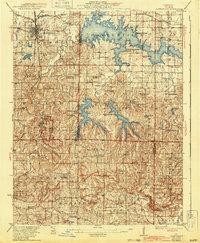
1922 Carbondale
Jackson County, IL
1941 Carbondale
Jackson County, IL
1966 Carbondale
Jackson County, IL
1984 Carbondale
Jackson County, IL

1986 Carbondale
Jackson County, IL
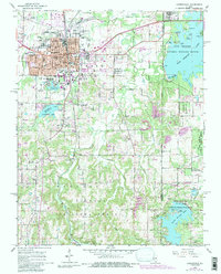
1996 Carbondale
Jackson County, IL
2012 Carbondale
Jackson County, IL
2015 Carbondale
Jackson County, IL
2018 Carbondale
Jackson County, IL

2021 Carbondale
Jackson County, IL
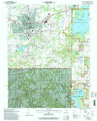
2024 Carbondale
Jackson County, IL