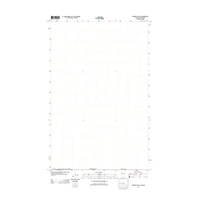
2013 Map of Caribou NE OE N
USGS Topo · Published 2013About this map
The international border between Canada / United States of America defines this northern landscape during the early 21st century. Positioned at the transition from Minnesota into Manitoba, the map focuses on a sparsely detailed section of Roseau Co directly along the 49th parallel. While the survey data shows minimal infrastructure or development in this specific quadrangle, it provides a precise spatial record of the geopolitical boundary. The absence of named settlements or interior roads emphasizes the remote nature of this borderland area, where the primary geographical feature is the line separating two nations.
Find a feature on this map
3 named features on this map. Tap any name to fly to it.
Don’t see what you’re looking for? This feature index may not catch every label — zoom into the map to look around manually.
Map Details
Editions of this 2013 Caribou NE OE N Map
This is the sole edition of this map. No revisions or reprints were ever made.
Other maps of this area

1919 · Badger
USGS Topo · 1:62,500

1930 · Juneberry
USGS Topo · 1:31,680

1932 · Juneberry
USGS Topo · 1:62,500

1952 · Thief River Falls
USGS Topo · 1:250,000

1956 · Thief River Falls
USGS Topo · 1:250,000

1957 · Thief River Falls
USGS Topo · 1:250,000
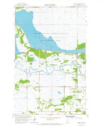
1966 · Badger NW
USGS Topo · 1:24,000

1966 · Caribou
USGS Topo · 1:24,000
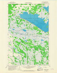
1966 · Caribou NE
USGS Topo · 1:24,000

1967 · Thief River Falls
USGS Topo · 1:250,000