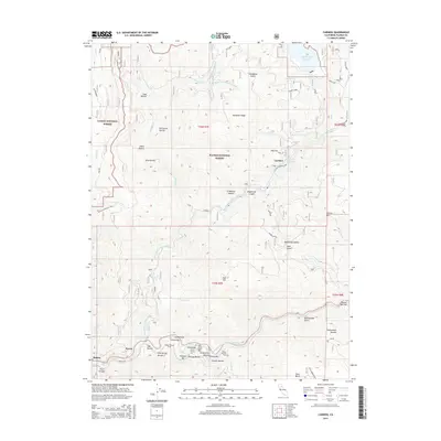
2015 Map of Caribou
USGS Topo · Published 2015About this map
The North Fork Feather River carves a deep path through this section of the Plumas National Forest, defining a landscape where industrial water management meets historic riverbed mining. The Butt Valley Reservoir sits at the northern edge, while the river downstream is punctuated by numerous named bars—Smiths Bar, Indian Bar, and the curiously named Pea Soup Bar—that speak to the region's gold-seeking history. Small settlements like Caribou and Haven are situated along these steep canyon walls, connected by specialized routes such as the Butt Ganser Spur and Belden Longville Spur. The topography is exceptionally detailed, showing the intricate network of ravines and gulches, including Crablouse Ravine and Rattlesnake Gulch, which feed into the main river system. Traces of harder labor are evident at the Sunnyside Mine near Seneca Rd, tucked away in the high country of t26n r8e.
Find a feature on this map
62 named features on this map. Tap any name to fly to it.
Don’t see what you’re looking for? This feature index may not catch every label — zoom into the map to look around manually.
Map Details
Editions of this 2015 Caribou Map
This is the sole edition of this map. No revisions or reprints were ever made.
Other maps of this area

1886 · Lassen Peak
USGS Topo · 1:250,000

1888 · Bidwell Bar
USGS Topo · 1:125,000

1891 · Bidwell Bar
USGS Topo · 1:125,000

1892 · Lassen Peak
USGS Topo · 1:250,000

1893 · Bidwell Bar
USGS Topo · 1:125,000

1894 · Lassen Peak
USGS Topo · 1:250,000

1895 · Bidwell Bar
USGS Topo · 1:125,000

1897 · Bidwell Bar
USGS Topo · 1:125,000

1950 · Bucks Lake
USGS Topo · 1:62,500

1955 · Almanor
USGS Topo · 1:62,500