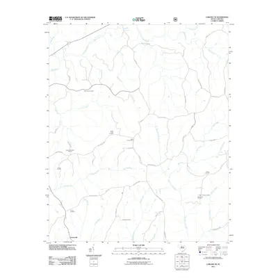
2011 Map of Carlisle SE
USGS Topo · Published 2011About this map
Feasterville stands as a focal point in this Fairfield County landscape, where the rural character is defined by a dense network of family and community burial grounds. Genealogists find significant value in the distribution of sites such as the Sweet Hope Cemetery, Coleman Cemetery, and the Dennis Crosby Cemetery. The terrain is deeply etched by a system of waterways including the Sandy River, McClures Creek, and the West Fork Little River, which historically dictated the placement of homesteads and local roads. The map's road network, featuring names like Ashford Ferry Rd and Halseville Rd, suggests a long history of transit between regional river crossings and agricultural settlements. This 2011 survey provides a modern accounting of these legacy landmarks before the shifting landscape of the South Carolina piedmont further alters the visibility of these small, scattered community sites.
Find a feature on this map
45 named features on this map. Tap any name to fly to it.
Don’t see what you’re looking for? This feature index may not catch every label — zoom into the map to look around manually.
Map Details
Editions of this 2011 Carlisle SE Map
This is the sole edition of this map. No revisions or reprints were ever made.
Other maps of this area

1904 · Columbia
USGS Topo · 1:125,000

1941 · Spartanburg
USGS Topo · 1:250,000

1953 · Spartanburg
USGS Topo · 1:250,000

1960 · Spartanburg
USGS Topo · 1:250,000

1963 · Spartanburg
USGS Topo · 1:250,000

1964 · Spartanburg
USGS Topo · 1:250,000

1968 · Blackstock
USGS Topo · 1:24,000

1969 · Lebanon
USGS Topo · 1:24,000

1969 · Blair
USGS Topo · 1:24,000
1969 · Salem Crossroads
USGS Topo · 1:24,000