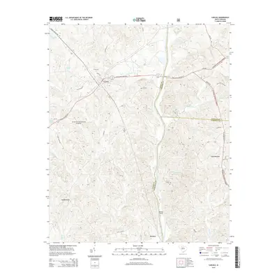
2014 Map of Carlisle
USGS Topo · Published 2014About this map
The Broad River carves a path through this part of the Piedmont, serving as a county boundary between Union, Chester, and Fairfield counties. Much of the western landscape is managed as the Sumter National Forest, a wooded area interspersed with historical family landmarks and rural communities. The town of Carlisle acts as a central hub, where several local routes like Janie Glymph Goree Blvd and Old Whitmire Rd converge. Further south, the map reveals smaller settlements such as Tuckertown and Herbert, alongside notable river features like Shelton Island. Local history and genealogy are preserved in various burial sites scattered across the terrain, including Hill Cem, Fish Dam Cem, and Kellys Cem. This 2014 survey documents the enduring rural character of the region, from the banks of the Sandy River to the crossing at Fishdam Ford, where the landscape remains defined by its watercourses and timberlands.
Find a feature on this map
49 named features on this map. Tap any name to fly to it.
Don’t see what you’re looking for? This feature index may not catch every label — zoom into the map to look around manually.
Map Details
Editions of this 2014 Carlisle Map
This is the sole edition of this map. No revisions or reprints were ever made.
Other maps of this area

1904 · Columbia
USGS Topo · 1:125,000

1941 · Spartanburg
USGS Topo · 1:250,000

1953 · Spartanburg
USGS Topo · 1:250,000

1960 · Spartanburg
USGS Topo · 1:250,000

1963 · Spartanburg
USGS Topo · 1:250,000

1964 · Spartanburg
USGS Topo · 1:250,000

1969 · Whitmire South
USGS Topo · 1:24,000

1969 · Blair
USGS Topo · 1:24,000
1969 · Salem Crossroads
USGS Topo · 1:24,000
1969 · Carlisle
USGS Topo · 1:24,000