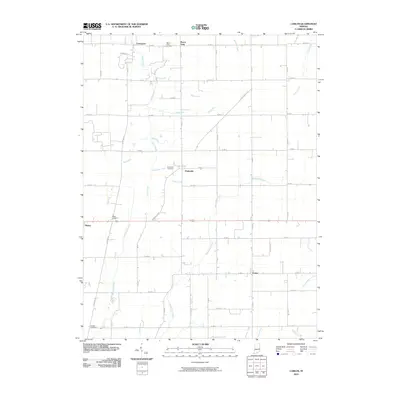
2010 Map of Carlos
USGS Topo · Published 2010About this map
The Whitewater River and its numerous tributaries, including Cabin Creek and Martindale Creek, define the agricultural landscape of this Indiana quadrangle. Small rural settlements are scattered throughout the region, with Modoc and Huntsville serving as primary hubs. The map reveals a strictly rectangular grid of county roads, such as W 500 S and S 400 W, which frame the farmsteads and small communities. For genealogists, the survey identifies several burial sites, including Salem Cemetery near the western edge and Jordon Cemetery in the southwest corner. The drainage pattern is particularly dense here, featuring several named "Runs" like Mortar Run, Roots Run, and Block Run that flow through the gently undulating terrain of Randolph County. These waterways influenced the early placement of towns like Unionport and Buena Vista, which remain as quiet crossroads in this modern survey.
Find a feature on this map
51 named features on this map. Tap any name to fly to it.
Don’t see what you’re looking for? This feature index may not catch every label — zoom into the map to look around manually.
Map Details
Editions of this 2010 Carlos Map
This is the sole edition of this map. No revisions or reprints were ever made.
Other maps of this area

1915 · New Paris
USGS Topo · 1:48,000

1916 · Winchester
USGS Topo · 1:48,000

1918 · Winchester
USGS Topo · 1:62,500

1918 · New Paris
USGS Topo · 1:62,500

1943 · Winchester
USGS Topo · 1:62,500

1952 · Maxville
USGS Topo · 1:24,000

1952 · Farmland
USGS Topo · 1:24,000

1953 · Cincinnati
USGS Topo · 1:250,000

1953 · Muncie
USGS Topo · 1:250,000

1956 · Muncie
USGS Topo · 1:250,000