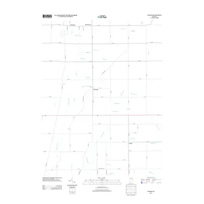
2013 Map of Carlos
USGS Topo · Published 2013About this map
Carlos and Huntsville serve as central points in this Randolph County landscape, where a dense grid of rural roads and agrarian holdings define the terrain. The community of Unionport sits near the northern boundary, while Buena Vista and the established lands of Groth Farms highlight the distributed nature of settlement in this part of Indiana during the early twenty-first century. The geography is characterized by an extensive network of waterways and drainage systems necessary for productive agriculture, including Martindale Cr, Jordan Cr, and Cabin Cr.
Find a feature on this map
64 named features on this map. Tap any name to fly to it.
Don’t see what you’re looking for? This feature index may not catch every label — zoom into the map to look around manually.
Map Details
Editions of this 2013 Carlos Map
This is the sole edition of this map. No revisions or reprints were ever made.
Other maps of this area

1915 · New Paris
USGS Topo · 1:48,000

1916 · Winchester
USGS Topo · 1:48,000

1918 · Winchester
USGS Topo · 1:62,500

1918 · New Paris
USGS Topo · 1:62,500

1943 · Winchester
USGS Topo · 1:62,500

1952 · Maxville
USGS Topo · 1:24,000

1952 · Farmland
USGS Topo · 1:24,000

1953 · Cincinnati
USGS Topo · 1:250,000

1953 · Muncie
USGS Topo · 1:250,000

1956 · Muncie
USGS Topo · 1:250,000