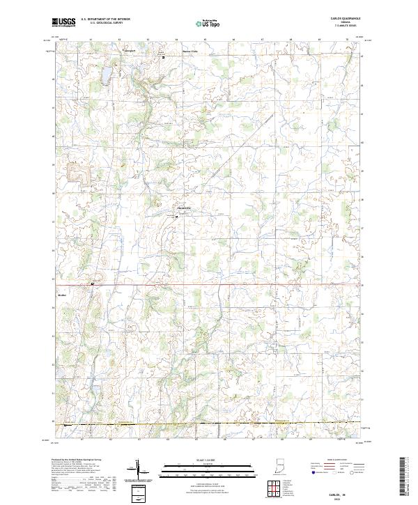
2022 Map of Carlos
USGS Topo · Published 2022About this map
Huntsville and Buena Vista anchor this rural landscape in Randolph County, where agricultural patterns are defined by an intricate network of drainage ditches and creeks. The terrain is a web of local waterways, including Sugar Cr, Cabin Cr, and the headwaters of the Whitewater River. These streams are supplemented by engineered features like Farquiner Ditch and Edwards Ditch, reflecting the long history of land reclamation for farming in this part of Indiana.
Find a feature on this map
72 named features on this map. Tap any name to fly to it.
Don’t see what you’re looking for? This feature index may not catch every label — zoom into the map to look around manually.
Map Details
Editions of this 2022 Carlos Map
This is the sole edition of this map. No revisions or reprints were ever made.
Other maps of this area

1915 · New Paris
USGS Topo · 1:48,000

1916 · Winchester
USGS Topo · 1:48,000

1918 · Winchester
USGS Topo · 1:62,500

1918 · New Paris
USGS Topo · 1:62,500

1943 · Winchester
USGS Topo · 1:62,500

1952 · Maxville
USGS Topo · 1:24,000

1952 · Farmland
USGS Topo · 1:24,000

1953 · Cincinnati
USGS Topo · 1:250,000

1953 · Muncie
USGS Topo · 1:250,000

1956 · Muncie
USGS Topo · 1:250,000