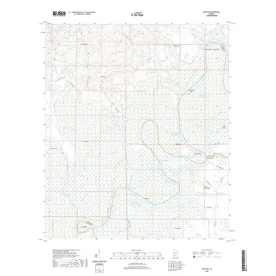
2020 Map of Carlton
USGS Topo · Published 2020About this map
Carlton sits within the lower reaches of the Alabama River basin, a landscape defined by the intricate winding of the Alabama River and its associated wetlands. The waterway's natural shifts are evident in features like the Dixie Cut-Off and the numerous named sandbars and bends such as Matthewsons Bar and Choctaw Bend. This survey documents a critical junction of southern Alabama counties, where Clarke, Monroe, and Baldwin meet along the river's path.
Find a feature on this map
48 named features on this map. Tap any name to fly to it.
Don’t see what you’re looking for? This feature index may not catch every label — zoom into the map to look around manually.
Map Details
Editions of this 2020 Carlton Map
This is the sole edition of this map. No revisions or reprints were ever made.
Other maps of this area

1942 · Perdido
USGS Topo · 1:62,500

1943 · Choctaw Bluff
USGS Topo · 1:62,500

1943 · Tensaw
USGS Topo · 1:62,500

1944 · Tensaw
USGS Topo · 1:62,500

1944 · Perdido
USGS Topo · 1:62,500

1946 · Choctaw Bluff
USGS Topo · 1:62,500

1953 · Andalusia
USGS Topo · 1:250,000

1957 · Andalusia
USGS Topo · 1:250,000

1972 · Chrysler
USGS Topo · 1:24,000

1972 · Gainestown
USGS Topo · 1:24,000