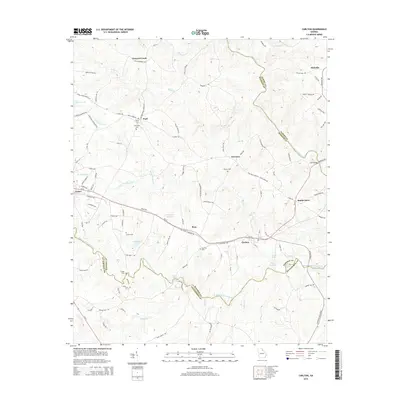
2014 Map of Carlton
USGS Topo · Published 2014About this map
Comer and Carlton anchor this 2014 survey of the northeast Georgia landscape, where the South Fork Broad River and Broad River define the boundaries between Madison, Elbert, and Oglethorpe counties. The map captures a transition between small agricultural settlements and the natural features of the Piedmont, including several river hazards like Cunningham Shoals and Witcher Shoals. Local history is preserved in the placement of several family-named burial grounds, such as David Cem, Burroughs Cem, and the Old Fork Cem situated near the community of Ross. Transportation routes follow the high ground between river drainages, with Ga-72 connecting the primary towns. The area's hydrology is complex, featuring man-made impoundments like Whitehead Lake and Otter Run Lake alongside numerous creeks including Vineyard Cr and Clouds Cr.
Find a feature on this map
119 named features on this map. Tap any name to fly to it.
Don’t see what you’re looking for? This feature index may not catch every label — zoom into the map to look around manually.
Map Details
Editions of this 2014 Carlton Map
This is the sole edition of this map. No revisions or reprints were ever made.
Other maps of this area

1891 · Carnesville
USGS Topo · 1:125,000

1893 · Elberton
USGS Topo · 1:125,000

1906 · Crawfordville
USGS Topo · 1:125,000

1953 · Athens
USGS Topo · 1:250,000

1954 · Greenville
USGS Topo · 1:250,000

1958 · Greenville
USGS Topo · 1:250,000

1958 · Athens
USGS Topo · 1:250,000

1958 · Danielsville
USGS Topo · 1:62,500

1958 · Elberton
USGS Topo · 1:62,500

1959 · Athens
USGS Topo · 1:250,000