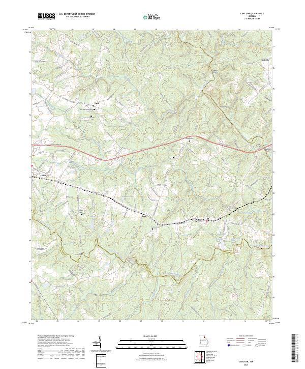
2024 Map of Carlton
USGS Topo · Published 2024About this map
Carlton and its neighboring settlements of Ross and Paoli define this northeast Georgia landscape, where the Broad River and South Fork Broad River converge. The terrain is shaped by several prominent water bodies, including Seymours Lake, Whitehead Lake, and Glenn Lake, which reflect the region's complex hydrology. This survey captures a rural network of churches and burial grounds, such as the New Hope Presbyterian Church Cem and Old Fork Cem, which provide essential touchstones for local genealogical research.
Find a feature on this map
121 named features on this map. Tap any name to fly to it.
Don’t see what you’re looking for? This feature index may not catch every label — zoom into the map to look around manually.
Map Details
Editions of this 2024 Carlton Map
This is the sole edition of this map. No revisions or reprints were ever made.
Other maps of this area

1891 · Carnesville
USGS Topo · 1:125,000

1893 · Elberton
USGS Topo · 1:125,000

1906 · Crawfordville
USGS Topo · 1:125,000

1953 · Athens
USGS Topo · 1:250,000

1954 · Greenville
USGS Topo · 1:250,000

1958 · Greenville
USGS Topo · 1:250,000

1958 · Athens
USGS Topo · 1:250,000

1958 · Danielsville
USGS Topo · 1:62,500

1958 · Elberton
USGS Topo · 1:62,500

1959 · Athens
USGS Topo · 1:250,000