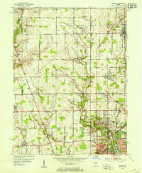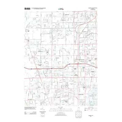
1959 Map of Carmel
USGS Topo · Published 1960About this map
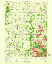
The suburban development of northern Indianapolis and southern Carmel is visible in this late-1950s record, where residential clusters like North Ridge Village and College Meadows begin to overlay an older agricultural landscape. The Monon Railroad corridor serves as a north-south spine, passing through the established community of Home Place and the evolving outskirts of Carmel. To the west, the historical settlements of Eagle Village and New Augusta remain distinct, though the expansion of the city is signaled by the emergence of the North Augusta Addition and numerous country clubs.
Find a feature on this map
99 named features on this map. Tap any name to fly to it.
Don’t see what you’re looking for? This feature index may not catch every label — zoom into the map to look around manually.
Map Details
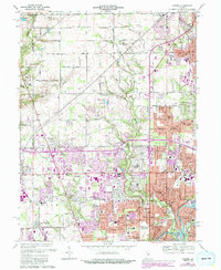
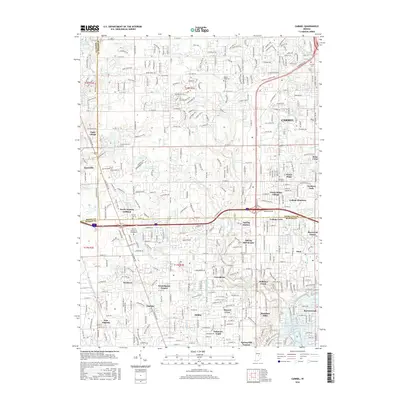
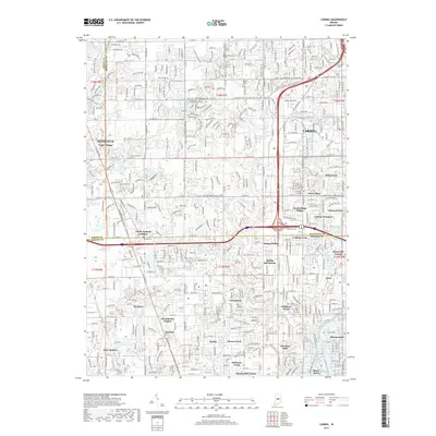
Editions of this 1959 Carmel Map
This is the sole edition of this map. No revisions or reprints were ever made.
Historical Maps of Indianapolis Through Time
9 maps found