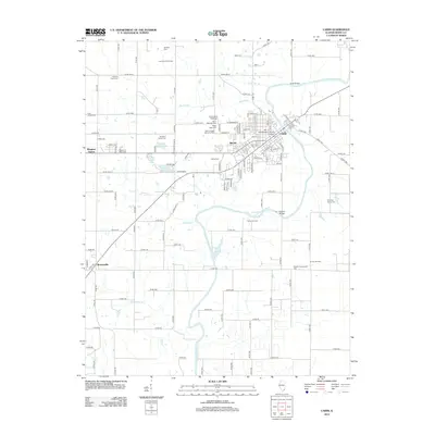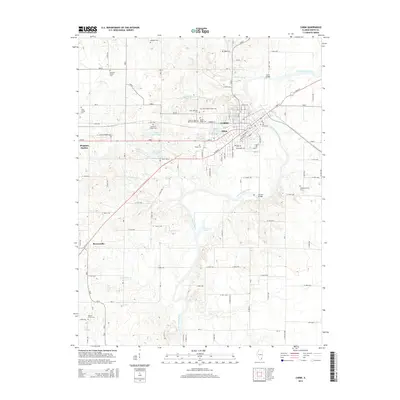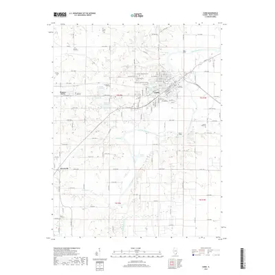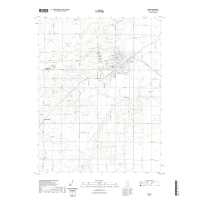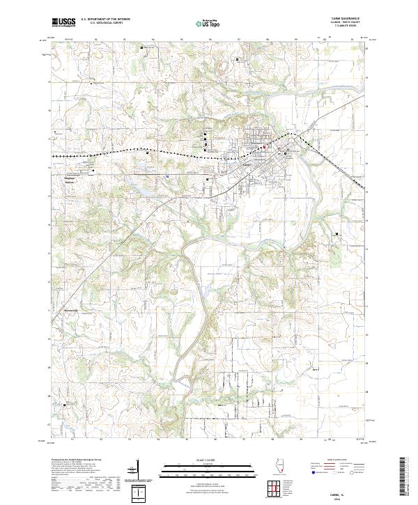
2024 Map of Carmi
USGS Topo · Published 2024About this map
The Little Wabash River winds through the heart of the Carmi area, carving a landscape defined by sharp oxbows and a network of named ponds and lakes. On its western banks, Carmi serves as a dense municipal center, anchored by the White County Courthouse and several historic burial grounds including The Old Graveyard and Dawn of Ages Memorial Park. The surrounding countryside is exceptionally well-documented for genealogists, featuring numerous family-named cemeteries such as Saunders Cem, Reib Cem, and Felty Cem scattered across the township grid.
Find a feature on this map
108 named features on this map. Tap any name to fly to it.
Don’t see what you’re looking for? This feature index may not catch every label — zoom into the map to look around manually.
Map Details
Editions of this 2024 Carmi Map
This is the sole edition of this map. No revisions or reprints were ever made.
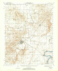
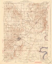
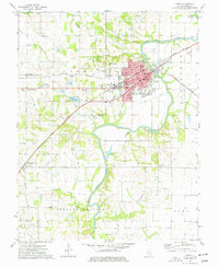
Historical Maps of Carmi Through Time
8 maps found