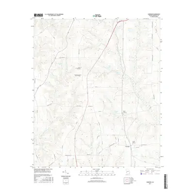
2017 Map of Carnegie
USGS Topo · Published 2017About this map
The unincorporated community of Carnegie serves as the focal point of this Randolph County landscape, where the agricultural legacy of Southwest Georgia is written in the names of its roads and watercourses. Local history is anchored by several burial grounds including the Carnegie Baptist Church Cem, Mount Hebron Church Cem, and Mitchell Grove Baptist Church Cem. The terrain is deeply etched by a network of tributaries such as Cemochechabee Cr, Town Br, and Yankee Br, which flow toward man-made landmarks like Wohlender Lake and Coffin Lake.
Find a feature on this map
57 named features on this map. Tap any name to fly to it.
Don’t see what you’re looking for? This feature index may not catch every label — zoom into the map to look around manually.
Map Details
Editions of this 2017 Carnegie Map
This is the sole edition of this map. No revisions or reprints were ever made.
Other maps of this area

1953 · Dothan
USGS Topo · 1:250,000

1954 · Dothan
USGS Topo · 1:250,000

1955 · Dothan
USGS Topo · 1:250,000
1972 · Brooksville
USGS Topo · 1:24,000
1972 · Cuthbert
USGS Topo · 1:24,000
1973 · Morris
USGS Topo · 1:24,000

1973 · Martins Crossroads
USGS Topo · 1:24,000
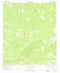
1973 · Coleman
USGS Topo · 1:24,000

1973 · Edison
USGS Topo · 1:24,000
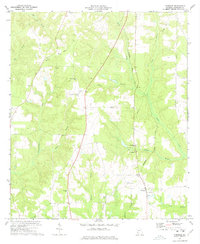
1973 · Carnegie
USGS Topo · 1:24,000