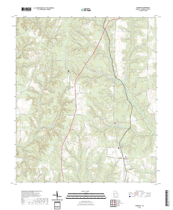
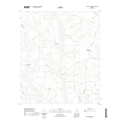
2024 Map of Carnegie
USGS Topo · Published 2024About this map
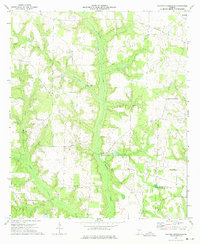
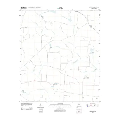
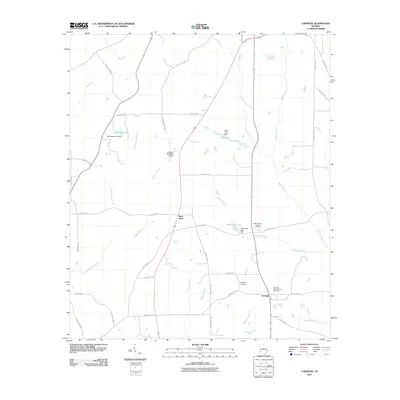
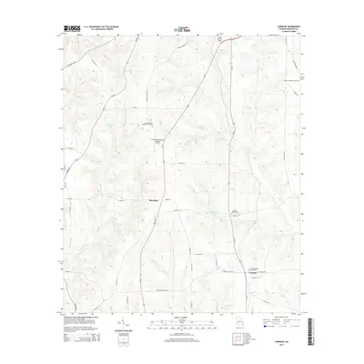
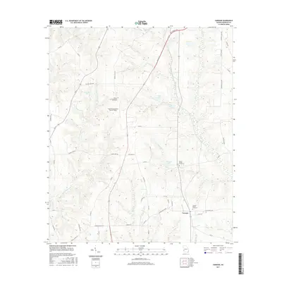
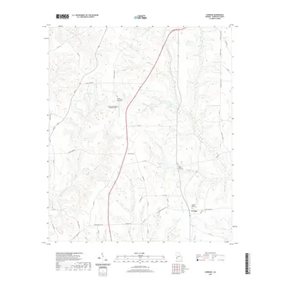
Carnegie serves as the central hub of this Randolph County landscape, where the agricultural traditions of Southwest Georgia are anchored by several long-standing community landmarks. The area is defined by a high concentration of historic congregational sites and burial grounds, including the Mitchell Grove Baptist Church Cem in the north and the Mount Cilla Church Cem to the south. These sites, along with Carnegie Baptist Church Cem, provide significant touchstones for genealogical research in the region.
Find a feature on this map
63 named features on this map. Tap any name to fly to it.
Don’t see what you’re looking for? This feature index may not catch every label — zoom into the map to look around manually.
Map Details
Editions of this 2024 Carnegie Map
This is the sole edition of this map. No revisions or reprints were ever made.
Historical Maps of Carnegie Through Time
25 maps found
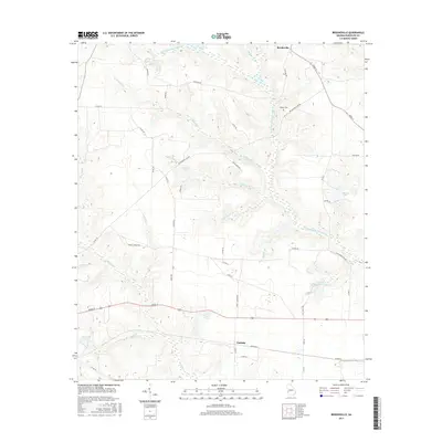
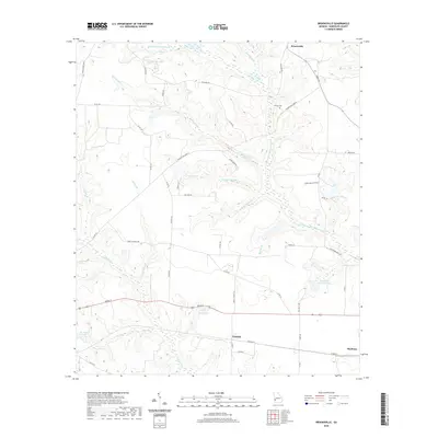
1972 Brooksville
Randolph County, GA
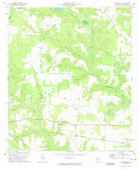
1973 Carnegie
Randolph County, GA
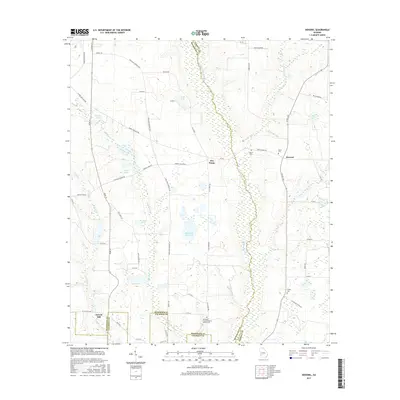
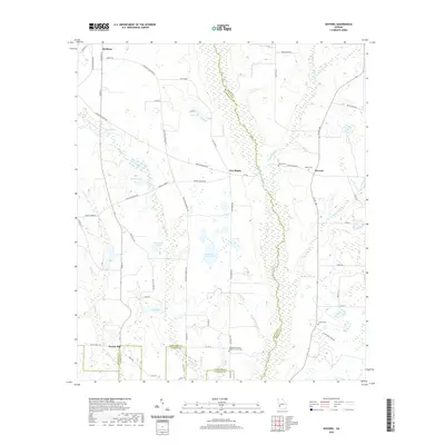
1973 Doverel
Randolph County, GA
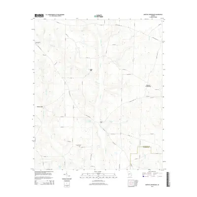
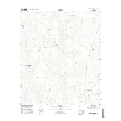
1973 Martins Crossroads
Randolph County, GA

1978 La Grange
Randolph County, GA
2011 Brooksville
Randolph County, GA
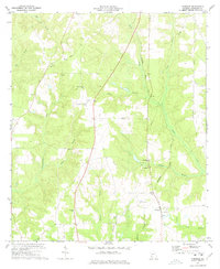
2011 Carnegie
Randolph County, GA
2011 Doverel
Randolph County, GA
2011 Martins Crossroads
Randolph County, GA
2014 Brooksville
Randolph County, GA
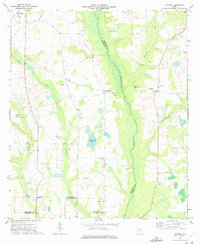
2014 Carnegie
Randolph County, GA
2014 Doverel
Randolph County, GA
2014 Martins Crossroads
Randolph County, GA
2017 Brooksville
Randolph County, GA
2017 Carnegie
Randolph County, GA
2017 Doverel
Randolph County, GA
2017 Martins Crossroads
Randolph County, GA
2020 Brooksville
Randolph County, GA
2020 Carnegie
Randolph County, GA
2020 Doverel
Randolph County, GA
2020 Martins Crossroads
Randolph County, GA
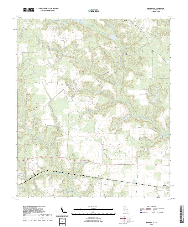
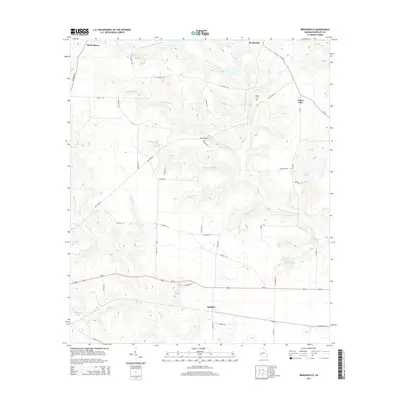
2024 Brooksville
Randolph County, GA
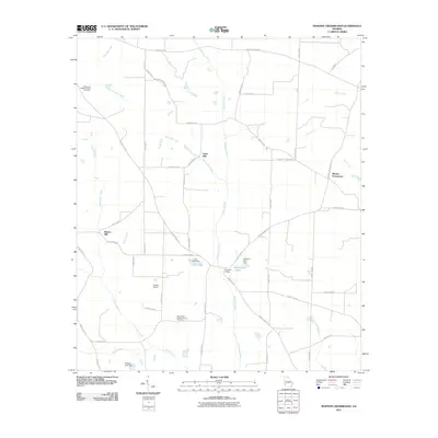
2024 Carnegie
Randolph County, GA
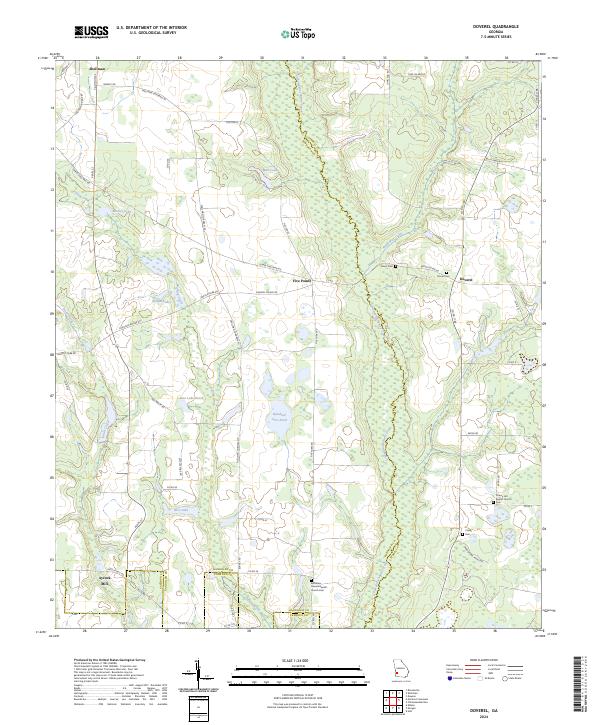
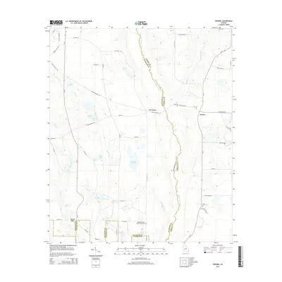
2024 Doverel
Randolph County, GA
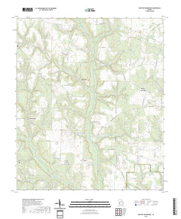
2024 Martins Crossroads
Randolph County, GA