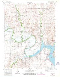
1957 Map of Carneiro
USGS Topo · Published 1980About this map
The Smoky Hill River winds through the heart of this central Kansas landscape, where the construction of the Kanopolis Dam transformed the valley into the expansive Kanopolis Lake. This 1957 survey, updated with late-1970s revisions, illustrates the development of recreational infrastructure alongside older agrarian settlements. To the north, the village of Carneiro sits along the Union Pacific railroad line, supported by the nearby Carneiro Cem.
Find a feature on this map
20 named features on this map. Tap any name to fly to it.
Don’t see what you’re looking for? This feature index may not catch every label — zoom into the map to look around manually.
Map Details
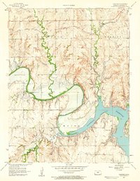
Editions of this 1957 Carneiro Map
2 editions found
Other maps of this area

1892 · Salina
USGS Topo · 1:125,000

1894 · Ellsworth
USGS Topo · 1:125,000

1942 · Salina
USGS Topo · 1:125,000

1955 · Great Bend
USGS Topo · 1:250,000

1955 · Hutchinson
USGS Topo · 1:250,000

1957 · Great Bend
USGS Topo · 1:250,000

1957 · Ellsworth
USGS Topo · 1:24,000

1957 · Westfall SW
USGS Topo · 1:24,000

1957 · Brookville SW
USGS Topo · 1:24,000

1957 · Westfall SE
USGS Topo · 1:24,000