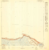
1949 Map of Carolina NE
USGS Topo · Published 1949About this map
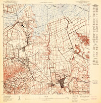
The northern coastline of Loíza and Canóvanas is defined by a complex network of wetlands and inlets where the Río Grande de Loíza meets the Océano Atlántico. This 1949 preliminary study, prepared by the U.S. Geological Survey for the Government of Puerto Rico, documents the intricate geography of Torrecilla Baja and Torrecilla Alta before extensive modern development. The landscape is marked by tidal passages like the Canal del Medio and Canal de Tierra, which weave through the low-lying terrain behind the Playa de las Tres Palmitas. Notable landmarks for maritime history include the prominent Pta Vacia Talega and the offshore Islote de Juan Perez. The survey offers a precise look at the transition between the coastal waters of Fondero de Rincón and the inland river mouth at El Chorro.
Find a feature on this map
16 named features on this map. Tap any name to fly to it.
Don’t see what you’re looking for? This feature index may not catch every label — zoom into the map to look around manually.
Map Details
Editions of this 1949 Carolina NE Map
This is the sole edition of this map. No revisions or reprints were ever made.
Other maps of this area

1940 · Carolina
USGS Topo · 1:30,000

1941 · Rio Grande
USGS Topo · 1:30,000

1941 · Carolina
USGS Topo · 1:30,000

1947 · Carolina
USGS Topo · 1:30,000

1947 · Rio Grande
USGS Topo · 1:30,000
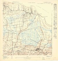
1949 · Rio Grande SO
USGS Topo · 1:10,000
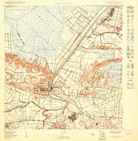
1950 · Carolina SE
USGS Topo · 1:10,000
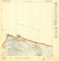
1950 · Carolina NO
USGS Topo · 1:10,000
1950 · Carolina SO
USGS Topo · 1:10,000
1956 · Rio Grande
USGS Topo · 1:20,000