Loading...
Loading map...1950 Map of Carolina NO
USGS Topo · Published 1950About this map
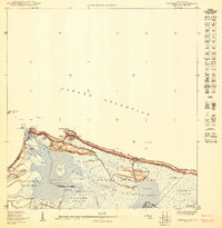
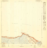
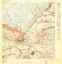
The coastal wetlands of Loíza and Carolina are captured here during a pivotal transition in the mid-century, just as the Aeropuerto Internacional (Proyecto) was being planned. The landscape is dominated by the sprawling Bosque Insular de Piñones and the intricate waterway systems of Laguna Torrecilla and Laguna de Piñones. Local life is anchored by the Escuela Piñones and Finca Piñones, located near the northern shore along the Playa de las Tres Palmitas.
Find a feature on this map
23 named features on this map. Tap any name to fly to it.
Don’t see what you’re looking for? This feature index may not catch every label — zoom into the map to look around manually.
Map Details
Date Portrayed1950
Date Published1950
PublisherU.S. Geological Survey
Map TypeTopographic
Scale1:10,000
Physical Dimensions30.4 x 31.1 inches
Editions of this 1950 Carolina NO Map
This is the sole edition of this map. No revisions or reprints were ever made.
Historical Maps of Carolina Through Time
3 maps found
Featured Locations
Source Details
SourceU.S. Geological Survey
CopyrightPublic Domain