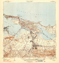
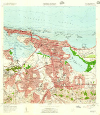
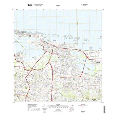
1947 Map of San Juan
USGS Topo · Published 1947About this map
La Fortaleza stands at the western tip of the islet, overlooking the entrance to the Bahía de San Juan during this late 1940s survey. The map details a city in transition, where the historic fortifications near Pta del Morro give way to the dense urban expansion of Santurce and the academic grounds of the Universidad de Puerto Rico. Along the coastline, the American Railroad winds past the U. S. Naval Reservation and into the industrial heart of Cataño across the water.
Find a feature on this map
97 named features on this map. Tap any name to fly to it.
Don’t see what you’re looking for? This feature index may not catch every label — zoom into the map to look around manually.
Map Details
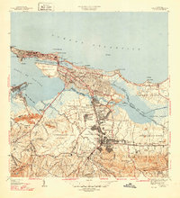
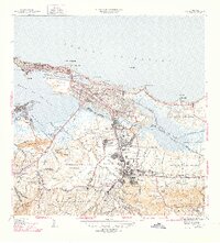
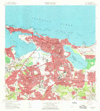
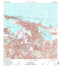
Editions of this 1947 San Juan Map
3 editions found
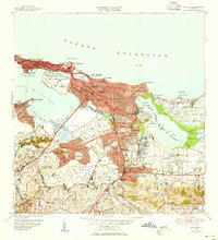
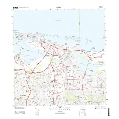
Historical Maps of San Juan Through Time
9 maps found

1941 San Juan
San Juan Municipio, PR
1947 San Juan
San Juan Municipio, PR
1949 San Juan
San Juan Municipio, PR
1957 San Juan
San Juan Municipio, PR
1963 San Juan
San Juan Municipio, PR
1969 San Juan
San Juan Municipio, PR
2013 San Juan
San Juan Municipio, PR
2018 San Juan
San Juan Municipio, PR
2024 San Juan
San Juan Municipio, PR
Featured Locations
- Los Murieles, San Juan
- Sector La Palmita, San Juan
- San Juan, San Juan
- Río Piedras, San Juan
- Cataño, Cataño