
1947 Map of Bayamon
USGS Topo · Published 1947About this map
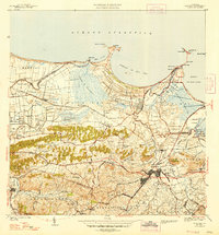
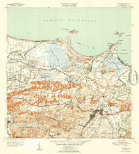
The industrial and agricultural rhythms of northern Puerto Rico are on display in this 1939 survey, centered on the urban core of Bayamon and the surrounding coastal plains. The American RR cuts through the terrain, connecting coastal settlements like Cataño and Palo Seco with the interior. The landscape is a mix of traditional sugar production, evidenced by Central Juanita, and emerging public infrastructure such as the Hospital de Distrito de Bayamon.
Find a feature on this map
95 named features on this map. Tap any name to fly to it.
Don’t see what you’re looking for? This feature index may not catch every label — zoom into the map to look around manually.
Map Details
Editions of this 1947 Bayamon Map
4 editions found

Other maps of this area

1940 · Vega Alta
USGS Topo · 1:30,000

1941 · Bayamon
USGS Topo · 1:30,000

1941 · San Juan
USGS Topo · 1:30,000

1946 · Aguas Buenas
USGS Topo · 1:30,000

1946 · Corozal
USGS Topo · 1:30,000

1946 · Vega Alta
USGS Topo · 1:30,000

1946 · Naranjito
USGS Topo · 1:30,000
1947 · Corozal NE
USGS Topo · 1:10,000

1947 · Aguas Buenas NO
USGS Topo · 1:10,000
1947 · Naranjito NO
USGS Topo · 1:10,000