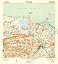
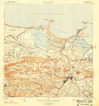
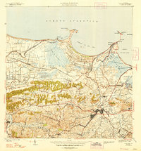
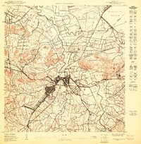
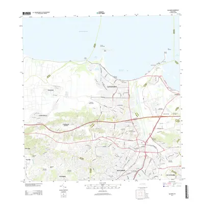
1947 Map of Bayamon
USGS Topo · Published 1952About this map
Bayamón serves as a central hub in this mid-century portrait of northern Puerto Rico, where the coastal plains meet the rising hills of Mucarabones and Cerro Gordo. The landscape reflects a transitional period between agricultural dominance and strategic military development, evidenced by the expansive U S Naval Reservation and U S Military Reservation. Industrial activity is centered around the Central Juanita sugar mill, while the American RR provides the vital transport link across the northern reaches of Sabana Seca.
Find a feature on this map
104 named features on this map. Tap any name to fly to it.
Don’t see what you’re looking for? This feature index may not catch every label — zoom into the map to look around manually.
Map Details
Editions of this 1947 Bayamon Map
4 editions found

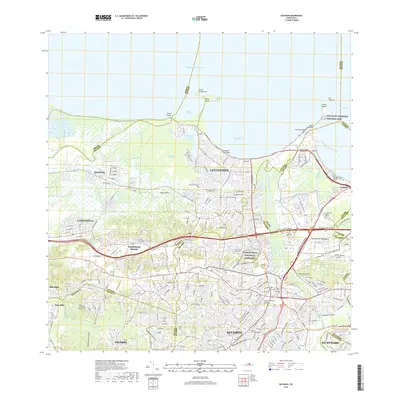
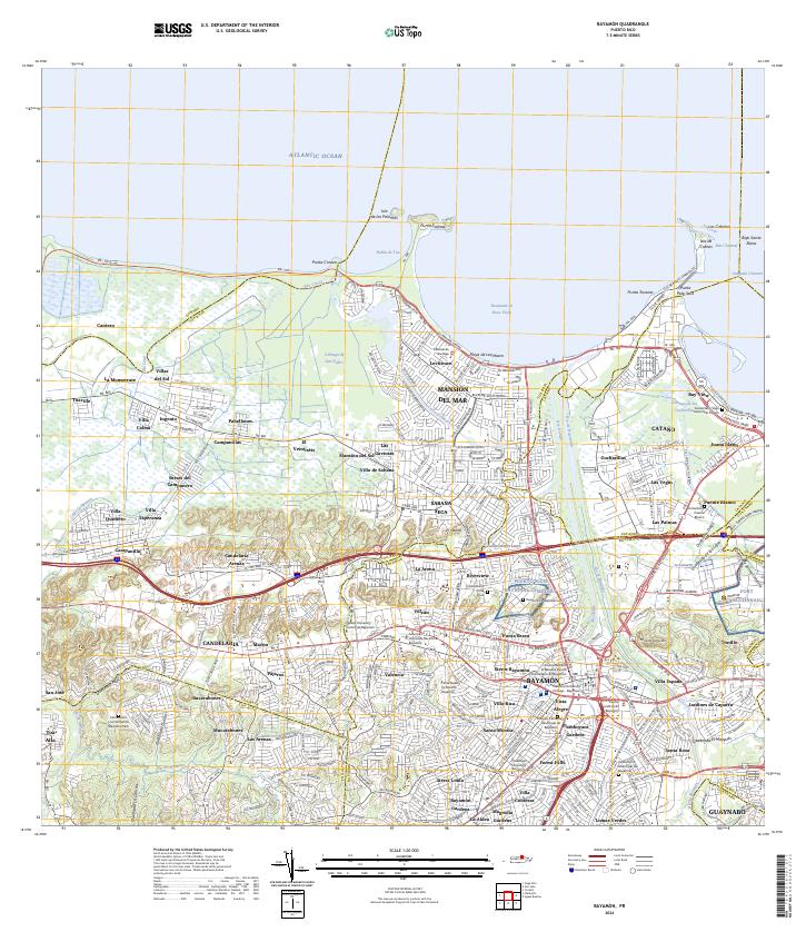
Historical Maps of Bayamón Through Time
10 maps found

1941 Bayamon
Bayamón Municipio, PR
1947 Bayamon
Bayamón Municipio, PR
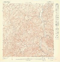
1947 Naranjito NE
Bayamón Municipio, PR
1950 Bayamon SE
Bayamón Municipio, PR
1957 Bayamon
Bayamón Municipio, PR
1963 Bayamon
Bayamón Municipio, PR
1969 Bayamon
Bayamón Municipio, PR
2013 Bayamon
Bayamón Municipio, PR
2018 Bayamon
Bayamón Municipio, PR
2024 Bayamon
Bayamón Municipio, PR
Featured Locations
- Parque del Lago, Toa Baja
- Sector La Arena, Toa Alta
- Toa Alta, Toa Alta
- Bayamón, Bayamón
- Sector del Conuco, Bayamón