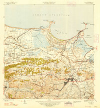
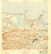
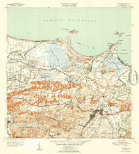
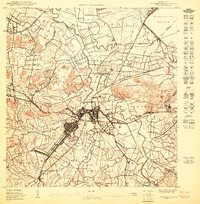
1947 Map of Bayamon
USGS Topo · Published 1947About this map
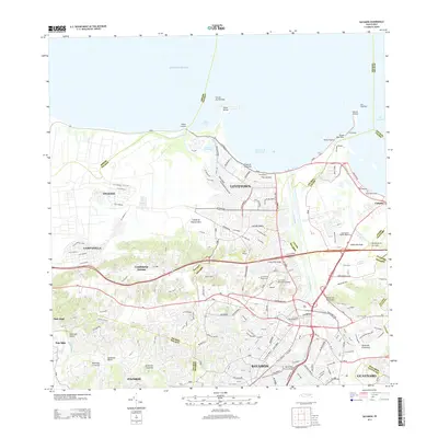
Bayamón and the surrounding coastal plains are revealed in this 1939 survey, showcasing a landscape defined by sugar production and early industrial development. The agricultural economy is anchored by the Central Juanita mill and numerous plantation outposts like Colonia La Monserrate and Colonia Campanilla. Transportation networks are heavily influenced by the American R. R. and a series of rail spurs, such as Desvío Palo Seco and Desvío Juanita, which facilitated the movement of cane and goods across the Sabana Seca region.
Find a feature on this map
102 named features on this map. Tap any name to fly to it.
Don’t see what you’re looking for? This feature index may not catch every label — zoom into the map to look around manually.
Map Details
Editions of this 1947 Bayamon Map
4 editions found

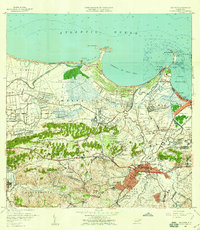
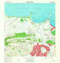
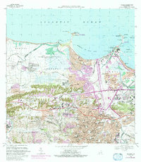
Historical Maps of Bayamón Through Time
10 maps found

1941 Bayamon
Bayamón Municipio, PR
1947 Bayamon
Bayamón Municipio, PR
1947 Naranjito NE
Bayamón Municipio, PR
1950 Bayamon SE
Bayamón Municipio, PR
1957 Bayamon
Bayamón Municipio, PR
1963 Bayamon
Bayamón Municipio, PR
1969 Bayamon
Bayamón Municipio, PR
2013 Bayamon
Bayamón Municipio, PR
2018 Bayamon
Bayamón Municipio, PR
2024 Bayamon
Bayamón Municipio, PR
Featured Locations
- Parque del Lago, Toa Baja
- Sector La Arena, Toa Alta
- Toa Alta, Toa Alta
- Bayamón, Bayamón
- Sector del Conuco, Bayamón