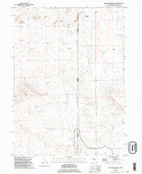
1990 Map of Carpenter Ranch
USGS Topo · Published 1995About this map
Carpenter Ranch anchor this landscape along the high plains of the Nebraska-Wyoming border, where the arid terrain is defined by a sophisticated network of water management. The Interstate Canal and Lateral No 4 reflect the critical importance of irrigation in Sioux County, drawing water across the state line to support local ranching. The presence of Carpenter Reservoir No 1 and its spillway further illustrates the engineered approach to the high prairie environment.
Find a feature on this map
22 named features on this map. Tap any name to fly to it.
Don’t see what you’re looking for? This feature index may not catch every label — zoom into the map to look around manually.
Map Details
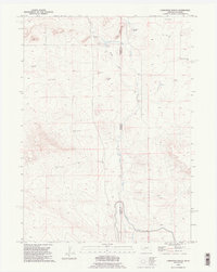
Editions of this 1990 Carpenter Ranch Map
2 editions found
Other maps of this area

1896 · Patrick
USGS Topo · 1:125,000

1899 · Whistle Creek
USGS Topo · 1:125,000

1954 · Torrington
USGS Topo · 1:250,000

1955 · Alliance
USGS Topo · 1:250,000

1957 · Alliance
USGS Topo · 1:250,000

1958 · Torrington
USGS Topo · 1:250,000

1958 · Alliance
USGS Topo · 1:250,000

1963 · Chalk Buttes
USGS Topo · 1:24,000
1963 · Torrington SE
USGS Topo · 1:24,000

1963 · Tea Kettle Rock
USGS Topo · 1:24,000