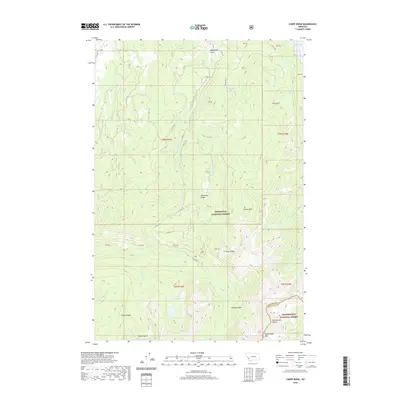
2020 Map of Carpp Ridge
USGS Topo · Published 2020About this map
The Continental Divide serves as a defining geographic spine for this high-altitude landscape where Deerlodge National Forest and Beaverhead National Forest meet. The terrain is characterized by a series of distinct alpine basins and ridges, including the prominent Carpp Ridge and Porter Ridge. Water is central to this environment, from the East Fork Reservoir at the northern edge to a high-mountain lake system featuring Lower Carpp Lake, Carpp Lake, and the remote Sauer Lake.
Find a feature on this map
40 named features on this map. Tap any name to fly to it.
Don’t see what you’re looking for? This feature index may not catch every label — zoom into the map to look around manually.
Map Details
Editions of this 2020 Carpp Ridge Map
This is the sole edition of this map. No revisions or reprints were ever made.
Other maps of this area

1908 · Philipsburg
USGS Topo · 1:125,000

1909 · Sapphire
USGS Topo · 1:125,000

1947 · Butte
USGS Topo · 1:250,000

1955 · Dillon
USGS Topo · 1:250,000

1957 · Dillon
USGS Topo · 1:250,000

1958 · Butte
USGS Topo · 1:250,000

1958 · Dillon
USGS Topo · 1:250,000

1960 · Butte
USGS Topo · 1:250,000

1962 · Butte
USGS Topo · 1:250,000

1962 · Dillon
USGS Topo · 1:250,000