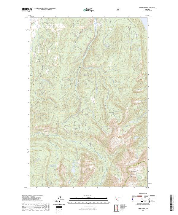
2024 Map of Carpp Ridge
USGS Topo · Published 2024About this map
The Anaconda Range forms a formidable high-altitude backbone across this portion of the Deerlodge National Forest, where the Continental Divide marks the boundary between Granite and Deer Lodge counties. This modern topographic study reveals a landscape defined by glacial basins and alpine water sources, including the headwaters of Meadow Creek and Carpp Creek. The southern reach of the map transitions into the Anaconda Pintler Wilderness, a protected expanse where human infrastructure is limited to primitive forest roads like Co RD 5141.
Find a feature on this map
39 named features on this map. Tap any name to fly to it.
Don’t see what you’re looking for? This feature index may not catch every label — zoom into the map to look around manually.
Map Details
Editions of this 2024 Carpp Ridge Map
This is the sole edition of this map. No revisions or reprints were ever made.
Other maps of this area

1908 · Philipsburg
USGS Topo · 1:125,000

1909 · Sapphire
USGS Topo · 1:125,000

1947 · Butte
USGS Topo · 1:250,000

1955 · Dillon
USGS Topo · 1:250,000

1957 · Dillon
USGS Topo · 1:250,000

1958 · Butte
USGS Topo · 1:250,000

1958 · Dillon
USGS Topo · 1:250,000

1960 · Butte
USGS Topo · 1:250,000

1962 · Butte
USGS Topo · 1:250,000

1962 · Dillon
USGS Topo · 1:250,000