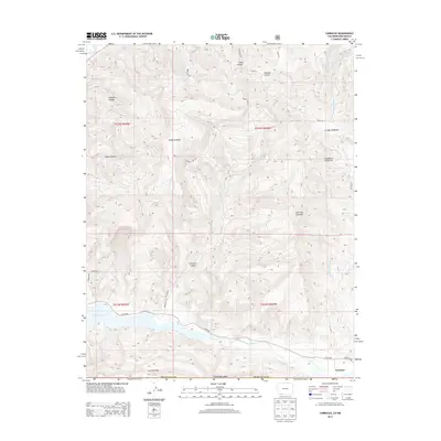
2013 Map of Carracas
USGS Topo · Published 2013About this map
Carracas sits at the southern edge of Archuleta County, just above the New Mexico border, where the San Juan River feeds into the expansive Navajo Reservoir. This 2013 survey illustrates the complex drainage systems and high-desert terrain of the Four Corners region, centered around the prominent Sandoval Mesa and the jagged Carracas Rim. The landscape is etched by numerous seasonal watercourses and steep-walled features such as Gallegos Canyon and Payan Canyon in the west, and Deep Canyon in the north. Settlement is sparse, with activity concentrated along the Co Rd 500 corridor and the small network of roads near the Colorado-New Mexico line. High points like Cerro del Zopilote provide landmarks across a territory defined by traditional Spanish land names, including La Vega Redonda and Cañada de la Nutrita.
Find a feature on this map
34 named features on this map. Tap any name to fly to it.
Don’t see what you’re looking for? This feature index may not catch every label — zoom into the map to look around manually.
Map Details
Editions of this 2013 Carracas Map
This is the sole edition of this map. No revisions or reprints were ever made.
Other maps of this area

1889 · Largo
USGS Topo · 1:250,000

1895 · Largo
USGS Topo · 1:250,000

1924 · Pagosa Springs
USGS Topo · 1:125,000

1927 · Pagosa Springs
USGS Topo · 1:125,000

1945 · Durango
USGS Topo · 1:250,000

1953 · Durango
USGS Topo · 1:250,000

1954 · Durango
USGS Topo · 1:250,000

1954 · Allison
USGS Topo · 1:24,000

1954 · Carracas
USGS Topo · 1:24,000

1954 · Rosa
USGS Topo · 1:24,000