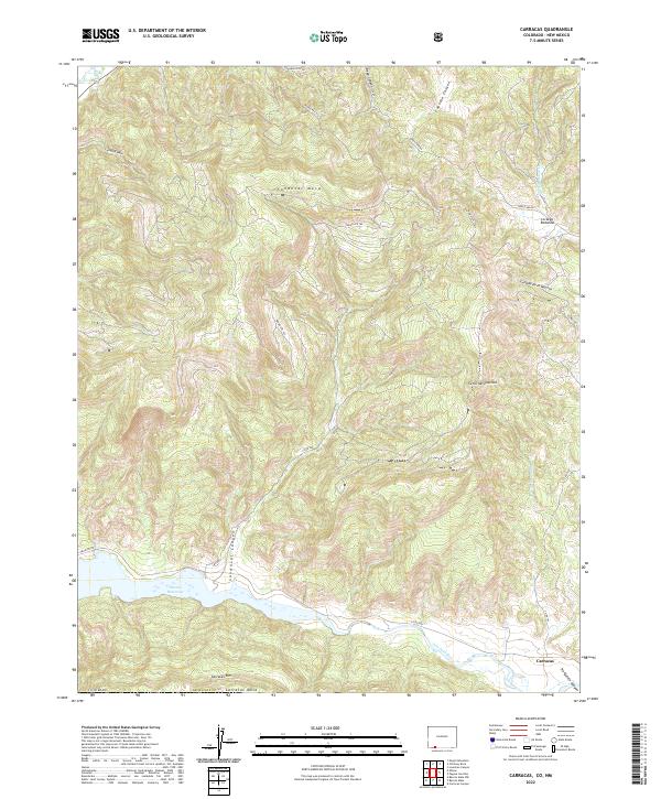
2022 Map of Carracas
USGS Topo · Published 2022About this map
The San Juan River flows through the southern reaches of this landscape, feeding the expansive Navajo Reservoir where the waters meet the high desert of southwest Colorado. This territory is defined by dramatic elevation changes, characterized by the prominent Sandoval Mesa and the sharp drop-offs of the Carracas Rim and Carracas Mesa. The settlement of Carracas sits near the river's edge, serving as a focal point for a network of remote routes including Trujillo Rd and Co Rd 500.
Find a feature on this map
29 named features on this map. Tap any name to fly to it.
Don’t see what you’re looking for? This feature index may not catch every label — zoom into the map to look around manually.
Map Details
Editions of this 2022 Carracas Map
This is the sole edition of this map. No revisions or reprints were ever made.
Other maps of this area

1889 · Largo
USGS Topo · 1:250,000

1895 · Largo
USGS Topo · 1:250,000

1924 · Pagosa Springs
USGS Topo · 1:125,000

1927 · Pagosa Springs
USGS Topo · 1:125,000

1945 · Durango
USGS Topo · 1:250,000

1953 · Durango
USGS Topo · 1:250,000

1954 · Durango
USGS Topo · 1:250,000

1954 · Allison
USGS Topo · 1:24,000

1954 · Carracas
USGS Topo · 1:24,000

1954 · Rosa
USGS Topo · 1:24,000