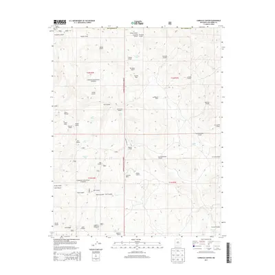
2013 Map of Carracas Canyon
USGS Topo · Published 2013About this map
Carracas Mesa and the high desert canyons of Rio Arriba County define this landscape within the Carson National Forest. The map traces a network of drainage systems including Carracas Canyon, Frijoles Canyon, and La Chamisalosa Canyon, reflecting the intricate topography of the region. Human presence in this high-altitude environment is marked by the Carracas Cem in the northwest corner and the remote Buzzard Park Campground to the south. Water sources, vital for survival and livestock in this arid terrain, are identified through family-named or descriptive landmarks like Ed Ladd Lake, Boiler Spring, and Grösbeck Tank. These features, along with the distinct Frijoles Peak, suggest a history of seasonal ranching and land use that predates the modern forest service roads like Forest Road 312 that now navigate the area.
Find a feature on this map
45 named features on this map. Tap any name to fly to it.
Don’t see what you’re looking for? This feature index may not catch every label — zoom into the map to look around manually.
Map Details
Editions of this 2013 Carracas Canyon Map
This is the sole edition of this map. No revisions or reprints were ever made.
Other maps of this area

1889 · Largo
USGS Topo · 1:250,000

1895 · Largo
USGS Topo · 1:250,000

1924 · Pagosa Springs
USGS Topo · 1:125,000

1927 · Pagosa Springs
USGS Topo · 1:125,000

1945 · Durango
USGS Topo · 1:250,000

1953 · Durango
USGS Topo · 1:250,000

1954 · Durango
USGS Topo · 1:250,000

1954 · Carracas
USGS Topo · 1:24,000

1954 · Aztec
USGS Topo · 1:250,000

1957 · Pagosa Junction
USGS Topo · 1:62,500