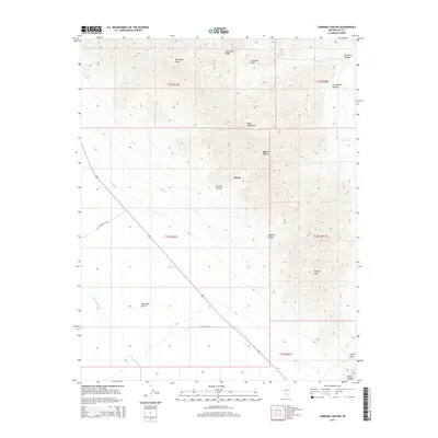
2014 Map of Carrara Canyon
USGS Topo · Published 2014About this map
Bare Mountain and the Mojave Desert dominate this landscape on the edge of the Amargosa Desert. The terrain is defined by extreme relief, stretching from the high elevation of Bare Mtn Peak down through deep cuts like Tarantula Canyon and Chuckwalla Canyon. For those studying the geological and industrial history of this part of Nye County, the map identifies several significant passes and ridges, including Razorback Ridge and Steves Pass.
Find a feature on this map
23 named features on this map. Tap any name to fly to it.
Don’t see what you’re looking for? This feature index may not catch every label — zoom into the map to look around manually.
Map Details
Editions of this 2014 Carrara Canyon Map
This is the sole edition of this map. No revisions or reprints were ever made.
Other maps of this area

1908 · Furnace Creek
USGS Topo · 1:250,000

1910 · Furnace Creek
USGS Topo · 1:250,000

1942 · Bullfrog
USGS Topo · 1:125,000

1948 · Death Valley
USGS Topo · 1:250,000

1952 · Chloride Cliff
USGS Topo · 1:50,000

1952 · Big Dune
USGS Topo · 1:62,500

1954 · Bare Mtn
USGS Topo · 1:62,500

1954 · Bullfrog
USGS Topo · 1:62,500

1954 · Death Valley
USGS Topo · 1:250,000

1956 · Death Valley
USGS Topo · 1:250,000