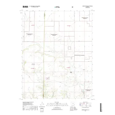
2019 Map of Carrizo Mountain
USGS Topo · Published 2019About this map
Carrizo Springs sits at the heart of this high-plains landscape, where the drainage systems of E Carrizo Cr and Cottonwood Cr carve into the semi-arid terrain of the Comanche National Grassland. The map reveals a land defined by its scarce water sources, evidenced by Tub Spring and the deeply etched contours of Deep Hole Canyon and Bushy Canyon. Elevations rise significantly at the volcanic prominence of Mt Carrizo and the adjacent Potato Butte, which provide the area’s most striking topographical relief. For those researching local history, the Carrizo Springs Cem remains a primary anchor for the small community. The intersection of county roads, such as Co RD M and Co RD 3.1, illustrates the grid-based ranching and transport network that spans the border of Las Animas and Baca Counties.
Find a feature on this map
33 named features on this map. Tap any name to fly to it.
Don’t see what you’re looking for? This feature index may not catch every label — zoom into the map to look around manually.
Map Details
Editions of this 2019 Carrizo Mountain Map
This is the sole edition of this map. No revisions or reprints were ever made.
Other maps of this area

1891 · Springfield
USGS Topo · 1:125,000

1892 · Mt Carrizo
USGS Topo · 1:125,000

1893 · Springfield
USGS Topo · 1:125,000

1955 · La Junta
USGS Topo · 1:250,000

1958 · La Junta
USGS Topo · 1:250,000

1968 · La Junta
USGS Topo · 1:250,000
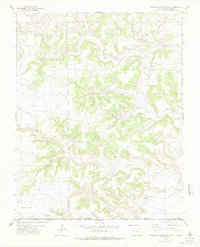
1978 · Furnish Canyon East
USGS Topo · 1:24,000

1978 · Pintada Creek
USGS Topo · 1:24,000

1978 · Utleyville
USGS Topo · 1:24,000
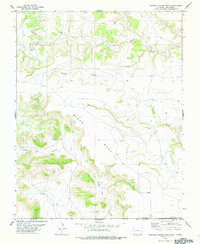
1978 · Furnish Canyon West
USGS Topo · 1:24,000