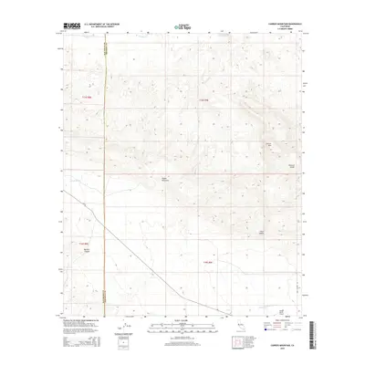
2015 Map of Carrizo Mountain
USGS Topo · Published 2015About this map
The Coyote Mountains dominate this 2015 survey of the arid borderlands between San Diego and Imperial counties. The landscape is defined by its dramatic relief, where the peak of Carrizo Mtn towers over ancient geological formations like the Painted Gorge and the aptly named Fossil Canyon. These features indicate a deep history of tectonic and erosional forces that have carved the Colorado Desert floor. Human presence is concentrated along the southern corridor, marked by the Emory Ranch Airport and the winding course of Shell Canyon Rd. The map tracks several ephemeral watercourses, including Carrizo Cr, Jojoba Wash, and Palm Canyon Wash, which dictate the natural movement across this challenging terrain. The jurisdictional boundary of San Diego Co Imperial Co bisects the western half, tracing a straight line across the complex topography of Mortero Canyon.
Find a feature on this map
17 named features on this map. Tap any name to fly to it.
Don’t see what you’re looking for? This feature index may not catch every label — zoom into the map to look around manually.
Map Details
Editions of this 2015 Carrizo Mountain Map
This is the sole edition of this map. No revisions or reprints were ever made.
Other maps of this area

1915 · El Centro
USGS Topo · 1:125,000

1931 · Carrizo
USGS Topo · 1:125,000

1939 · Jacumba
USGS Topo · 1:62,500

1940 · Plaster City
USGS Topo · 1:62,500

1940 · Coyote Wells
USGS Topo · 1:62,500

1942 · El Centro
USGS Topo · 1:250,000

1942 · Carrizo Mtn
USGS Topo · 1:62,500

1942 · Jacumba
USGS Topo · 1:62,500

1943 · Coyote Wells
USGS Topo · 1:62,500

1944 · Plaster City
USGS Topo · 1:62,500