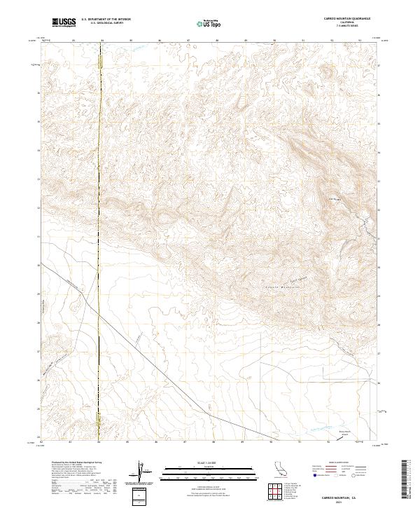
2021 Map of Carrizo Mountain
USGS Topo · Published 2021About this map
The Coyote Mountains dominate this high-desert landscape at the boundary of San Diego and Imperial counties. The terrain is characterized by dramatic elevation shifts, where Carrizo Mtn stands as a prominent landmark overlooking a network of deep incisions including Fossil Canyon and Mortero Canyon. These canyons provide a look into the geological complexity of the Volcanic Hills and the alluvial drainage patterns of the Palm Canyon Wash to the south. Historically significant routes such as Sweeny Pass Rd and Mortero Cnyn Rd trace the path of earlier travelers through these arid passes. Human presence is sparse, anchored primarily by the Emory Ranch Airport in the southeastern corner, reflecting the remote nature of this borderlands region in the early twenty-first century.
Find a feature on this map
18 named features on this map. Tap any name to fly to it.
Don’t see what you’re looking for? This feature index may not catch every label — zoom into the map to look around manually.
Map Details
Editions of this 2021 Carrizo Mountain Map
This is the sole edition of this map. No revisions or reprints were ever made.
Other maps of this area

1915 · El Centro
USGS Topo · 1:125,000

1931 · Carrizo
USGS Topo · 1:125,000

1939 · Jacumba
USGS Topo · 1:62,500

1940 · Plaster City
USGS Topo · 1:62,500

1940 · Coyote Wells
USGS Topo · 1:62,500

1942 · El Centro
USGS Topo · 1:250,000

1942 · Carrizo Mtn
USGS Topo · 1:62,500

1942 · Jacumba
USGS Topo · 1:62,500

1943 · Coyote Wells
USGS Topo · 1:62,500

1944 · Plaster City
USGS Topo · 1:62,500