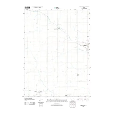
2010 Map of Carroll West
USGS Topo · Published 2010About this map
The village of Halbur and the nearby community of Roselle anchor the southern portion of this landscape, where the agricultural grid is intersected by the winding paths of Brushy Creek and Halburn Creek. This 2010 USGS record shows the rural character of western Carroll, detailing the placement of local institutions like the Halbur Post Office and Saint Augustine Cemetery. To the north, the Middle Raccoon River cuts diagonally across the terrain near the settlement of Maple River and Saint Francis Cemetery. The map captures a moment of transition between the industrial edges of the city, represented by Industrial Park Rd, and the high ground of Mount Moses. Genealogists and local historians can trace the specific property access provided by the extensive county road system, including the Kittyhawk Avenue Bridge over the river, as it served these small Carroll County communities at the start of the decade.
Find a feature on this map
35 named features on this map. Tap any name to fly to it.
Don’t see what you’re looking for? This feature index may not catch every label — zoom into the map to look around manually.
Map Details
Editions of this 2010 Carroll West Map
This is the sole edition of this map. No revisions or reprints were ever made.
Other maps of this area

1954 · Omaha
USGS Topo · 1:250,000

1954 · Fort Dodge
USGS Topo · 1:250,000

1957 · Omaha
USGS Topo · 1:250,000

1957 · Fort Dodge
USGS Topo · 1:250,000

1958 · Omaha
USGS Topo · 1:250,000

1958 · Fort Dodge
USGS Topo · 1:250,000

1971 · Dedham
USGS Topo · 1:24,000

1971 · Templeton
USGS Topo · 1:24,000

1978 · Manning
USGS Topo · 1:24,000

1980 · Breda
USGS Topo · 1:24,000