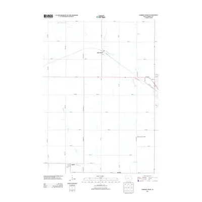
2013 Map of Carroll West
USGS Topo · Published 2013About this map
Maple River sits at the northern curve of the Middle Raccoon River, anchoring a landscape defined by the agricultural grid of Carroll County. This 2013 survey documents the intersection of rural transit and town growth, featuring the southern settlements of Halbur and Roselle. The western outskirts of the city of Carroll appear along the eastern edge, showing the transition from the city's Industrial Park Rd and Railroad St to the open fields and timbered draws of the Brushy Cr and Halburn Cr watersheds. One notable landmark includes the Kittyhawk Avenue Bridge, which provides a specific point of reference for the river's path through the section lines south of the highway.
Find a feature on this map
41 named features on this map. Tap any name to fly to it.
Don’t see what you’re looking for? This feature index may not catch every label — zoom into the map to look around manually.
Map Details
Editions of this 2013 Carroll West Map
This is the sole edition of this map. No revisions or reprints were ever made.
Other maps of this area

1954 · Omaha
USGS Topo · 1:250,000

1954 · Fort Dodge
USGS Topo · 1:250,000

1957 · Omaha
USGS Topo · 1:250,000

1957 · Fort Dodge
USGS Topo · 1:250,000

1958 · Omaha
USGS Topo · 1:250,000

1958 · Fort Dodge
USGS Topo · 1:250,000

1971 · Dedham
USGS Topo · 1:24,000

1971 · Templeton
USGS Topo · 1:24,000

1978 · Manning
USGS Topo · 1:24,000

1980 · Breda
USGS Topo · 1:24,000