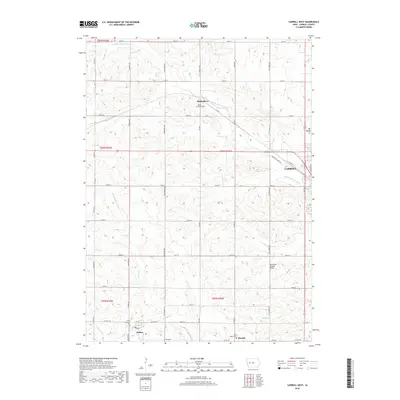
2018 Map of Carroll West
USGS Topo · Published 2018About this map
The Middle Raccoon River winds through this central Iowa landscape, defining the agricultural and early transportation corridors west of Carroll. The area is anchored by smaller rural settlements like Maple River, Halbur, and Roselle, which reveal a settlement pattern deeply rooted in parochial and community life. Evidence of this history is found in the scattered parish cemeteries, including Saint Augustine Cem and Holy Angels Cem, which serve as vital landmarks for genealogical research in this part of Carroll County. The terrain is marked by gentle drainage basins like Brushy Cr and Halburn Cr, alongside local elevations such as Mt Moses. While the western edge of the city of Carroll shows industrial expansion near Railroad St, the surrounding townships remain dedicated to a grid of county roads and family-owned farmsteads that have shaped the region since its early development.
Find a feature on this map
47 named features on this map. Tap any name to fly to it.
Don’t see what you’re looking for? This feature index may not catch every label — zoom into the map to look around manually.
Map Details
Editions of this 2018 Carroll West Map
This is the sole edition of this map. No revisions or reprints were ever made.
Other maps of this area

1954 · Omaha
USGS Topo · 1:250,000

1954 · Fort Dodge
USGS Topo · 1:250,000

1957 · Omaha
USGS Topo · 1:250,000

1957 · Fort Dodge
USGS Topo · 1:250,000

1958 · Omaha
USGS Topo · 1:250,000

1958 · Fort Dodge
USGS Topo · 1:250,000

1971 · Dedham
USGS Topo · 1:24,000

1971 · Templeton
USGS Topo · 1:24,000

1978 · Manning
USGS Topo · 1:24,000

1980 · Breda
USGS Topo · 1:24,000