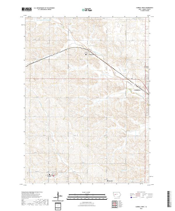
2022 Map of Carroll West
USGS Topo · Published 2022About this map
The Middle Raccoon River winds through the agricultural landscape of western Carroll County, Iowa, defining the natural drainage of a region shaped by late-century land use and rural settlements. This 2022 survey documents the persistent footprints of small communities like Maple River, Halbur, and Roselle, each maintaining its distinct identity amidst a grid of section-line roads such as Granite Ave and Hawthorne Ave. Genealogists will find significant value in the documentation of several religious and burial sites, including Saint Augustine Ch, Saint Francis Cem, and Holy Angels Cem, which serve as vital anchors for the area's local history.
Find a feature on this map
47 named features on this map. Tap any name to fly to it.
Don’t see what you’re looking for? This feature index may not catch every label — zoom into the map to look around manually.
Map Details
Editions of this 2022 Carroll West Map
This is the sole edition of this map. No revisions or reprints were ever made.
Other maps of this area

1954 · Omaha
USGS Topo · 1:250,000

1954 · Fort Dodge
USGS Topo · 1:250,000

1957 · Omaha
USGS Topo · 1:250,000

1957 · Fort Dodge
USGS Topo · 1:250,000

1958 · Omaha
USGS Topo · 1:250,000

1958 · Fort Dodge
USGS Topo · 1:250,000

1971 · Dedham
USGS Topo · 1:24,000

1971 · Templeton
USGS Topo · 1:24,000

1978 · Manning
USGS Topo · 1:24,000

1980 · Breda
USGS Topo · 1:24,000