
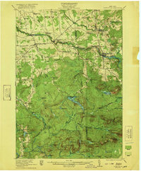
1970 Map of Carry Falls Reservoir
USGS Topo · Published 1972About this map
The Raquette River dominates this landscape, having been transformed into a series of power reservoirs that define the local geography. In this 1970 survey, the Carry Falls Reservoir and Stark Falls Reservoir stretch across the western boundary, creating a complex shoreline that includes Radio Island and Maple Island. The interior is characterized by the dense wilderness of the Adirondack State Park and various sections of the State Forest Preserve. Scattered throughout the high ground of Whitney Mtn and Number 19 Mtn are remote water bodies like Joe Indian Pond and Whitney Pond. This area represents a managed wilderness where recreational infrastructure, such as a Landing Strip and Picnic Area, exists alongside the regulated flow of the Jordan River and St Regis River.
Find a feature on this map
46 named features on this map. Tap any name to fly to it.
Don’t see what you’re looking for? This feature index may not catch every label — zoom into the map to look around manually.
Map Details
Editions of this 1970 Carry Falls Reservoir Map
This is the sole edition of this map. No revisions or reprints were ever made.
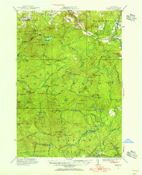
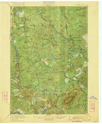
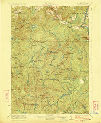
Other maps of this area

1908 · Potsdam
USGS Topo · 1:62,500

1919 · Nicholville
USGS Topo · 1:62,500

1920 · Childwold
USGS Topo · 1:62,500

1921 · Childwold
USGS Topo · 1:48,000
1921 · Nicholville
USGS Topo · 1:62,500
1921 · Stark
USGS Topo · 1:62,500
1922 · Childwold
USGS Topo · 1:62,500
1923 · Stark
USGS Topo · 1:62,500

1940 · Stark
USGS Topo · 1:62,500

1942 · Long Bow
USGS Topo · 1:24,000