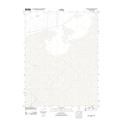
2011 Map of Carson Sink SW
USGS Topo · Published 2011About this map
Mopung Hills rise above the arid basin of Churchill County, defining the northern edge of this desert landscape. The terrain is characterized by the expansive white reaches of the Carson Sink, a terminal lake bed where water levels fluctuate with the seasons. Humboldt Slough enters from the west, representing one of the few distinct hydrographic features in an area otherwise dominated by salt flats and intermittent drainage patterns. This map records the stark geography of the Great Basin at a time when digital mapping began to meticulously document these remote playa environments, providing a baseline for studying the shifting margins of the sink and its surrounding high ground.
Find a feature on this map
2 named features on this map. Tap any name to fly to it.
Don’t see what you’re looking for? This feature index may not catch every label — zoom into the map to look around manually.
Map Details
Editions of this 2011 Carson Sink SW Map
This is the sole edition of this map. No revisions or reprints were ever made.
Other maps of this area

1908 · Carson Sink
USGS Topo · 1:250,000

1910 · Carson Sink
USGS Topo · 1:250,000

1950 · Stillwater
USGS Topo · 1:62,500

1951 · Soda Lake
USGS Topo · 1:62,500

1951 · Carson Sink
USGS Topo · 1:62,500

1951 · Desert Peak
USGS Topo · 1:62,500

1957 · Reno
USGS Topo · 1:250,000

1959 · Reno
USGS Topo · 1:250,000

1960 · Reno
USGS Topo · 1:250,000

1979 · Carson Sink
USGS Topo · 1:100,000